Ch'ura
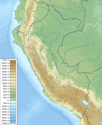
Ch'ura (Quechua for a swamp with natural springs,[2] Hispanicized name Churas) is a 5,084-metre-high (16,680 ft) mountain in the Andes of Peru. It is located in the Lima Region, Cajatambo Province, Gorgor District, and in the Huaura Province, Ambar District. Ch'ura lies northwest of Wanki and northeast of Waqra Punta at the end of the Phiru Uya valley.[1][3]
| Ch'ura | |
|---|---|
 Ch'ura Peru | |
| Highest point | |
| Elevation | 5,084 m (16,680 ft)[1] |
| Coordinates | 10°40′08″S 77°04′51″W |
| Geography | |
| Location | Peru, Lima Region |
| Parent range | Andes |
References
- "Cerro Churas". IGN, Peru. Archived from the original on April 2, 2015. Retrieved March 8, 2015.
- Teofilo Laime Ajacopa (2007). Diccionario Bilingüe: Iskay simipi yuyayk’anch: Quechua – Castellano / Castellano – Quechua (PDF). La Paz, Bolivia.
{{cite book}}: CS1 maint: location missing publisher (link) - escale.minedu.gob.pe - UGEL map of the Cajatambo Province (Lima Region)
This article is issued from Wikipedia. The text is licensed under Creative Commons - Attribution - Sharealike. Additional terms may apply for the media files.