Chew Green
Chew Green is the site of the ancient Roman encampment, commonly but erroneously called Ad Fines (Latin: The Limits[1]) on the 1885-1900 edition of the Ordnance Survey map,[2] in Northumberland, England,[3] 8 miles (13 km) north of Rochester and 9 miles (14 km) west of Alwinton. The encampment was adjacent to Dere Street, a Roman road that stretched south to York (Eboracum), and almost on the present-day border with Scotland.
| Chew Green (Ad Fines) | |
|---|---|
| Northumberland, England, UK | |
 Chew Green Roman camp | |
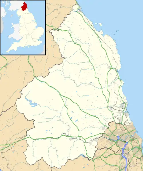
 Chew Green (Ad Fines) Location in Northumberland | |
| Coordinates | 55.371°N 2.337°W |
| Grid reference | NT787086 |
Archaeological excavation at Chew Green has uncovered a complex of Roman military camps consisting of a Roman fort, two fortlets, two camps and a section of Roman road. The Roman remains were overlaid with evidence of the medieval settlement of Kemylpethe[4] that included a small chapel, although the evidence for this latter is based on reports of an undocumented excavation in the 1880s and must be regarded as insubstantial. The largest camp structure is a square that encloses about 17 acres (7 ha) with a defensive rampart and ditch. Evidence inside the fort indicates it was used as permanent settlement. The encampment likely served only as a military base, not a colonial settlement.[5]
The site is within the Northumberland National Park and within the Military Training Area at Otterburn.
See also
External links
References
- Ad Fines, Google Translate
- Ad Fines Camps, OS One Inch, 1885-1900, National Library of Scotland
- Richmond, I.A., & Keeney, G.S. (1937). Archaeologia Aeliana (4th Series) 14, 129–50.
- Kemylpethe, National Library of Scotland
- Stuart, R. (1845). Caledonia Romana: A Descriptive Account of the Roman Antiquities of Scotland. London, UK: Bell and Bradfute.