Chicoutimi/Saint-Honoré Aerodrome
Chicoutimi/Saint-Honoré Aerodrome (ICAO: CYRC) is located 1.5 nautical miles (2.8 km; 1.7 mi) east southeast of Saint-Honoré and approximately 5.6 nautical miles (10.4 km; 6.4 mi) from Chicoutimi in Quebec, Canada.
Chicoutimi/Saint-Honoré Aerodrome | |||||||||||||||||||
|---|---|---|---|---|---|---|---|---|---|---|---|---|---|---|---|---|---|---|---|
.jpg.webp) NAV CANADA control tower at Saint-Honore | |||||||||||||||||||
| Summary | |||||||||||||||||||
| Airport type | Public | ||||||||||||||||||
| Owner/Operator | Transports Québec | ||||||||||||||||||
| Serves | Chicoutimi, Quebec | ||||||||||||||||||
| Location | Saint-Honoré, Quebec | ||||||||||||||||||
| Time zone | EST (UTC−05:00) | ||||||||||||||||||
| • Summer (DST) | EDT (UTC−04:00) | ||||||||||||||||||
| Elevation AMSL | 543 ft / 166 m | ||||||||||||||||||
| Coordinates | 48°31′15″N 071°03′02″W | ||||||||||||||||||
| Map | |||||||||||||||||||
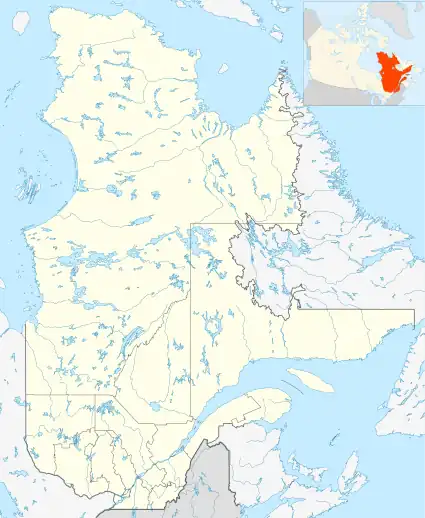
 CYRC Location in Quebec | |||||||||||||||||||
| Runways | |||||||||||||||||||
| |||||||||||||||||||
| Statistics (2017) | |||||||||||||||||||
| |||||||||||||||||||
History
The site, north of the Saguenay River, was selected by the Royal Canadian Air Force in the summer of 1941 and construction began shortly thereafter with the aerodrome opening in June 1942 as RCAF Station St-Honoré. It was operated as a sub-base to RCAF Station Bagotville and supported pilot training during the Second World War under the British Commonwealth Air Training Plan. It was closed on January 5, 1945 and was subsequently transferred to the local community after it ceased to have a military purpose. RCAF Station Bagotville was reactivated in 1951 as a training and operational base and continues to this day as CFB Bagotville.
Aerodrome
In approximately 1942 the aerodrome was listed at 48°31′N 71°03′W with a Var. 23 degrees E and elevation of 539 feet (164 m). All three runways were listed as "under construction" and detailed as follows:[3]
| Runway name | Length | Width | Surface |
|---|---|---|---|
| 7/25 | 4,200 feet (1,280 m) | 150 feet (46 m) | Asphalt |
| 1/19 | 4,200 feet (1,280 m) | 150 feet (46 m) | Asphalt |
| 13/31 | 5,100 feet (1,554 m) | 150 feet (46 m) | Asphalt |
References
- Canada Flight Supplement. Effective 0901Z 16 July 2020 to 0901Z 10 September 2020.
- "Aircraft movements, by class of operation, airports with NAV CANADA towers (2013-2017)". Statistics Canada. Retrieved May 20, 2018.
- Staff writer (c. 1942). Pilots Handbook of Aerodromes and Seaplane Bases Vol. 1. Royal Canadian Air Force. p. 77.
External links
- Page about this airport on COPA's Places to Fly airport directory