Chityal, Nalgonda district
Chityal is a municipality in Nalgonda district of the Indian state of Telangana. It is located in Chityal mandal of Nalgonda division.[1] 74 Kms from Hyderabad.
Chityal | |
|---|---|
Municipality | |
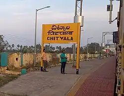 Chityala railway station | |
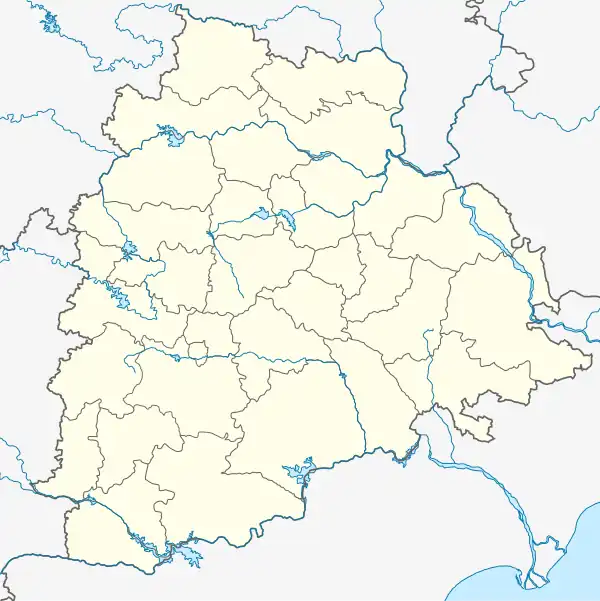 Chityal Location in Telangana, India  Chityal Chityal (India) | |
| Coordinates: 17.2333°N 79.1333°E | |
| Country | India |
| State | Telangana |
| District | Nalgonda |
| Talukas | Nakrekal |
| Government | |
| • MP | KV Reddy Bhuvanagiri |
| Area | |
| • Total | 17.43 km2 (6.73 sq mi) |
| Population (2011)[1] | |
| • Total | 13,752 |
| • Density | 790/km2 (2,000/sq mi) |
| Languages | |
| • Official | Telugu |
| Time zone | UTC+5:30 (IST) |
| Vehicle registration | TS |
| Lok Sabha constituency | Bhuvanagiri |
| Vidhan Sabha constituency | Nakrekal |
| Website | telangana |
Geography
Chityal is located at 17.2333°N 79.1333°E.[2] It has an average elevation of 304 metres (1000 ft). It is around 72 km from Hyderabad, 28 km from Nalgonda.
History
In Kakatiya Dynasty, Chityala named Chittala Sangyapuram. The details of this are available in Gram Panchayat Office. In 1984, for laying railway track the inscription pillar found along with 800-year-old Anjaneya Swami Temple.
References
- "District Census Handbook - Nalgonda" (PDF). Census of India. p. 13,266. Retrieved 8 February 2016.
- Chityal at Fallingrain.com
This article is issued from Wikipedia. The text is licensed under Creative Commons - Attribution - Sharealike. Additional terms may apply for the media files.