Gallant, Alabama
Gallant, also known as Clear Springs or Greasy Cove, is a census-designated place and unincorporated community in Etowah, and St. Clair counties, Alabama, United States. It lies west of the city of Gadsden, the county seat of Etowah County.[3] As of the 2010 census, its population was 855.[4] It has a post office with the ZIP code 35972.[5]
Gallant, Alabama | |
|---|---|
 Location of Gallant in Etowah County, Alabama. | |
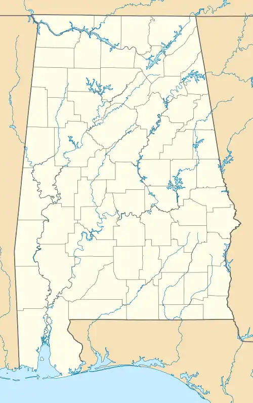
 Gallant Location within the state of Alabama | |
| Coordinates: 33°59′58″N 86°14′43″W | |
| Country | United States |
| State | Alabama |
| County | Etowah |
| Area | |
| • Total | 14.43 sq mi (37.38 km2) |
| • Land | 14.38 sq mi (37.25 km2) |
| • Water | 0.05 sq mi (0.13 km2) |
| Elevation | 774 ft (236 m) |
| Population (2020) | |
| • Total | 869 |
| • Density | 60.43/sq mi (23.33/km2) |
| Time zone | UTC-6 (Central (CST)) |
| • Summer (DST) | UTC-5 (CDT) |
| ZIP codes | 35972 |
| FIPS code | 01-28816 |
| GNIS feature ID | 2582676[2] |
Gallant was the name of a pioneer settler who came from Tennessee.[6]
Recreation
Camp Sumatanga is a 1700-acre facility surrounded by the woods, mountains, lakes and streams. The many recreational activities available include fishing, swimming, archery, hiking, and camping. Summer camp is available for children. There are three chapels that are available for reservation for weddings and other ceremonies.[7]
Dayspring Dairy is Alabama's first sheep dairy, offering hard and soft farmstead cheeses, a farm store with free tasting, and farm tours.
References
- "2020 U.S. Gazetteer Files". United States Census Bureau. Retrieved October 29, 2021.
- U.S. Geological Survey Geographic Names Information System: Gallant, Alabama
- Rand McNally. The Road Atlas '08. Chicago: Rand McNally, 2008, p. 4.
- "U.S. Census website". United States Census Bureau. Retrieved May 14, 2011.
- USPS – Cities by ZIP Code
- Gallant, Frank K. (2012). A Place Called Peculiar: Stories about Unusual American Place-Names. Courier Dover Publications. p. 5. ISBN 9780486483603.
- Camp Sumatanga
- "Census of Population and Housing". Census.gov. Retrieved June 4, 2016.
