Col d'Étache
Col d'Étache in French, (in Italian Colle d'Etiache), is a pedestrian pass (el. 2,799 m) across the Cottian Alps. It connects Susa Valley (Province of Turin, Italy) and Maurienne (Savoie, France).
| Col d'Étache | |
|---|---|
| Italian: Colle d'Etiache | |
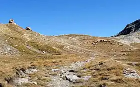 Southern view of the pass | |
| Elevation | 2,799 m (9,183 ft)[1] |
| Traversed by | foothpath |
| Location | Piedmont, Italy Rhône-Alpes, France |
| Range | Cottian Alps |
| Coordinates | 45°08′53″N 06°48′47″E |
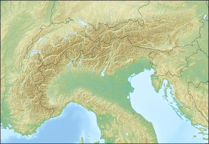 Col d'Étache Location of Col d'Étache | |
Geography
The pass is located between mount Gros Peyron (3,047 m, SE) and Cresta San Michele (or Pierre Minieu, 3,252 m, NW). It belongs to the water divide between the drainage basins of Arc and Dora Riparia (thus between Rhone and Po basins).
Hiking
The pass can be accessed from south by a wide foothpath starting from Rifugio Scarfiotti, a CAI mountain hut located in the comune of Bardonecchia at 2,165 m. On the French side the footpath continues until Le Planey, a village of Bramans.
Maps
- Italian official cartography (Istituto Geografico Militare - IGM); on-line version: www.pcn.minambiente.it
- French official cartography (Institut Géographique National - IGN); on-line version: www.geoportail.fr Archived 2007-11-13 at the Wayback Machine
- I.G.C. (Istituto Geografico Centrale), Carta dei sentieri e dei rifugi 1:50.000 scale n. 1 Valli di Susa Chisone e Germanasca and 1:25.000 scale n. 104 Bardonecchia Monte Thabor Sauze d'Oulx
References
Wikimedia Commons has media related to Col d'Étache.
- Official French cartography of Institut Géographique National - IGN; on-line version: www.geoportail.fr
This article is issued from Wikipedia. The text is licensed under Creative Commons - Attribution - Sharealike. Additional terms may apply for the media files.