Crișul Negru
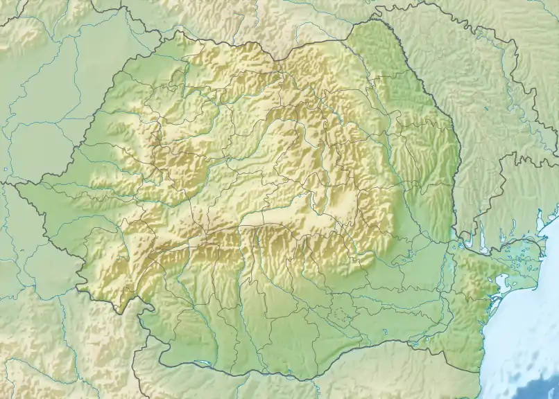
The Crișul Negru (Black Criș) (Romanian), (Hungarian: Fekete-Körös) is a river in western Romania (Transylvania) and south-eastern Hungary (Békés County). The river has its source in the western Apuseni Mountains. It flows through the towns Ștei and Beiuș in Romania. Crossing the border of Hungary the river, now called Fekete-Körös, joins the Fehér-Körös a few kilometres north from Gyula to form the Körös river.[1] In Romania, its length is 164 km (102 mi) and its basin size is 3,820 km2 (1,470 sq mi).[2] Part of the water from the river Crișul Repede is diverted towards the Crișul Negru by the Criș Collector Canal.
| Crișul Negru Fekete-Körös | |
|---|---|
  | |
| Location | |
| Countries | Romania and Hungary |
| Counties | |
| Towns | |
| Physical characteristics | |
| Source | Apuseni Mountains |
| • elevation | 1,460 m (4,790 ft) |
| Mouth | Körös (Criș) |
• location | near Gyula, Hungary |
• coordinates | 46°42′1″N 21°16′9″E |
| Length | 168 km (104 mi) |
| Basin size | 4,450 km2 (1,720 sq mi) |
| Discharge | |
| • location | Zerind |
| • average | 31.40 m3/s (1,109 cu ft/s) |
| • minimum | 0.47 m3/s (17 cu ft/s) |
| • maximum | 648 m3/s (22,900 cu ft/s) |
| Basin features | |
| Progression | Körös→ Tisza→ Danube→ Black Sea |
| Tributaries | |
| • left | Teuz |
| • right | Holod |
Hydronymy
The name of this river comes from earlier Dacian Krísos, which meant "black",[3] making this a doublet (cf. Bulg čer "black", Old Church Slavonic čǐrnǔ, Old Prussian kirsnan, Albanian sorrë "raven") with Romanian negru "black". The upper course, upstream from the confluence with the Crișul Băița, is sometimes called Crișul Poienii.
Towns and villages
The following towns and villages are situated along the Crișul Negru, from source to mouth: Vașcău, Ștei, Rieni, Drăgănești, Tărcaia, Beiuș, Șuncuiuș, Uileacu de Beiuș, Șoimi, Căpâlna, Tinca, Batăr, Avram Iancu, Zerind in Romania, and Sarkad in Hungary.
Tributaries
The following rivers are tributaries to the Crișul Negru (from source to mouth):[2]
- Left: Criștior, Pârâul Țarinii, Briheni, Valea Mare (Cusuiuș), Tărcăița, Finiș, Căldărești, Șerpoasa, Valea Mare (Șuncuiș), Arman, Hălgaș, Fieghiu, Poclușa, Crișul Mic, Rătășel, Beliu, Răchest, Teuz
- Right: Crișul Nou, Crișul Băița, Valea Neagră, Crăiasa, Crișul Pietros, Talpe, Mizieș, Nimăiești, Ioaniș, Valea Roșie, Prisaca, Săliște, Holod, Pusta, Saraz, Valea Nouă
References
- Planul de management al riscului la inundații - Administrația Bazinală de Apă Crișuri, p. 7
- Atlasul cadastrului apelor din România. Partea 1 (in Romanian). Bucharest: Ministerul Mediului. 1992. pp. 106–113. OCLC 895459847. River code: III.1.42
- Katičic', Radislav. Ancient Languages of the Balkans, Part One. Paris: Mouton, 1976: 150.