Maintal-Dörnigheim
Dörnigheim is the biggest district of the town of Maintal in Hesse, Germany. It is situated on the right, or northern, bank of the Main river.
Maintal-Dörnigheim | |
|---|---|
 Flag  Coat of arms | |
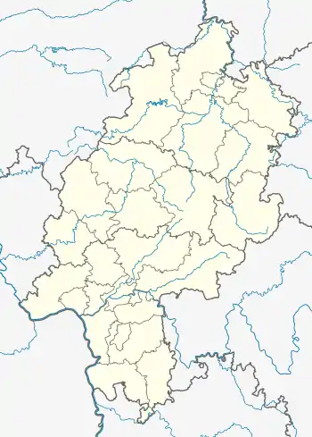
Location of Maintal-Dörnigheim | |
 Maintal-Dörnigheim  Maintal-Dörnigheim | |
| Coordinates: 50°09′N 08°50′E | |
| Country | Germany |
| State | Hesse |
| Admin. region | Darmstadt |
| District | Main-Kinzig-Kreis |
| Town | Maintal |
| Area | |
| • Total | 9.85 km2 (3.80 sq mi) |
| Elevation | 102 m (335 ft) |
| Population (2018-12-31) | |
| • Total | 16,890 |
| • Density | 1,700/km2 (4,400/sq mi) |
| Time zone | UTC+01:00 (CET) |
| • Summer (DST) | UTC+02:00 (CEST) |
| Postal codes | 63477 |
| Dialling codes | 06181 |
| Vehicle registration | ERB |
History
Dörnigheim's existence was first documented in the year 793. According to a document Wolfbodo donated the Maingau including "Turinchheim" (old name of the city) to the Abbot of Lorsch. The proprietorship was shared between the counts of Hanau and the bishops of Mainz.

Because of its well situated location between Hanau in the east and Frankfurt am Main in the west Dörnigheim was favoured as a last stop for travelling salesman on their way to Frankfurt. The Maintal-Dörnigheim Ferry, a cable ferry across the Main, links Dörnigheim with Mühlheim am Main on the opposite bank.
In 1964 Dörnigheim received city rights because it grew and became more than 10000 inhabitants. In 1974 the city lost its independence and became together with three other towns, Bischofsheim, Hochstadt and Wachenbuchen, a district of the newly formed city of Maintal.
Further reading
- Lapp, Heinrich: Dörnigheim am Main, Die Geschichte eines Dorfes, (1952)
- Salzmann, Bernd; Voigt, Wilfried: Keiner will es gewesen sein: Dörnigheim im Nationalsozialismus, (1991)
- 793-1993. 1200 Jahre Dörnigheim, Zeltgemeinschaft 1200 Jahre Dörnigheim, Dörnigheim (1993)