Dampit, Malang
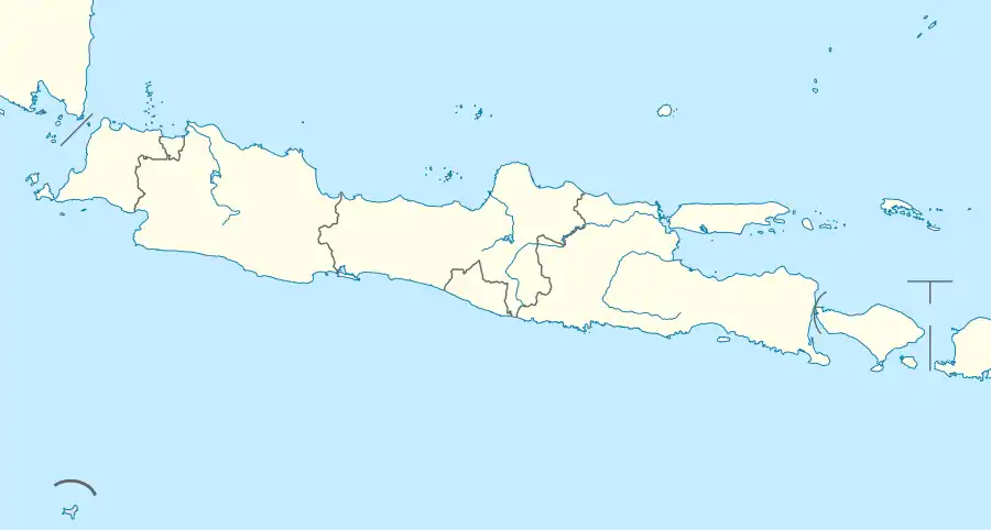
Dampit is a kecamatan in Malang Regency, East Java, Indonesia. It is situated near the southern coast with Indian Ocean, about 36 kilometres southeast of Malang. As of 2020, it has a total population of 127,129.[1]
Dampit | |
|---|---|
 Dampit  Dampit | |
| Coordinates: 08°12′42″S 112°44′47″E | |
| Country | |
| Provinces | East Java |
| Regency | Malang |
| Villages | 11 |
| Area | |
| • Total | 135.31 km2 (52.24 sq mi) |
| Elevation | 575 m (1,886 ft) |
| Population (2020) | |
| • Total | 127,129 |
| • Density | 940/km2 (2,400/sq mi) |
| Time zone | UTC+7 (WIB) |
| Postal code | 65181 |
| Ministry of Home Affairs Code | 35.07.05 |
Geography
Dampit is located on the southeastern part of Java. It borders Wajak to its north, Tirto Yudo to its east and south, Sumbermanjing to its southwest, and Turen to its northwest. Indonesian National Route 3 passes through the south of the district. Its average elevation is 575 meters above sea level.[2]
Climate
Dampit has a Tropical Monsoon Climate (Am). On average, its driest month is August, with 42 mm of rainfall; and its wettest month is January, with 394 mm of rainfall.
| Climate data for Dampit | |||||||||||||
|---|---|---|---|---|---|---|---|---|---|---|---|---|---|
| Month | Jan | Feb | Mar | Apr | May | Jun | Jul | Aug | Sep | Oct | Nov | Dec | Year |
| Average high °C (°F) | 26.9 (80.4) |
27.1 (80.8) |
27.2 (81.0) |
27.2 (81.0) |
27.1 (80.8) |
26.5 (79.7) |
26 (79) |
26.3 (79.3) |
27.4 (81.3) |
28 (82) |
27.5 (81.5) |
26.9 (80.4) |
27.0 (80.6) |
| Daily mean °C (°F) | 23.8 (74.8) |
23.9 (75.0) |
23.9 (75.0) |
23.9 (75.0) |
23.5 (74.3) |
22.8 (73.0) |
22.1 (71.8) |
22.1 (71.8) |
22.9 (73.2) |
23.8 (74.8) |
24 (75) |
23.8 (74.8) |
23.4 (74.0) |
| Average low °C (°F) | 21.7 (71.1) |
21.7 (71.1) |
21.7 (71.1) |
21.3 (70.3) |
20.6 (69.1) |
19.8 (67.6) |
19 (66) |
18.6 (65.5) |
19.6 (67.3) |
20.7 (69.3) |
21.6 (70.9) |
21.8 (71.2) |
20.7 (69.2) |
| Average rainfall mm (inches) | 394 (15.5) |
364 (14.3) |
380 (15.0) |
242 (9.5) |
121 (4.8) |
85 (3.3) |
53 (2.1) |
42 (1.7) |
74 (2.9) |
128 (5.0) |
301 (11.9) |
382 (15.0) |
2,566 (101) |
| Source: Climate-Data.org[3] | |||||||||||||
Education
There are a total of 90 educational facilities in Dampit. They can be divided into the following categories:[4]
| Type | Number | |
|---|---|---|
| Public | Private | |
| Primary schools (SD) | 48 | 2 |
| Junior High Schools (SMP) | 2 | 12 |
| Madrasah Ibtidaiyah (MI) | N/A | 16 |
| Madrasah Tsanawiyah (MTs) | N/A | 10 |
References
- "Jumlah Penduduk Menurut Kecamatan dan Kelompok Umur Hasil SP2020 (Jiwa), 2020" [Number of Population by District and Age Group Result of SP2020 (Person), 2020]. malangkab.bps.go.id (in Indonesian). Retrieved 2023-04-25.
- "Dampit topographic map, elevation, terrain". Topographic maps. Retrieved 2023-04-25.
- "Dampit climate: Temperature Dampit & Weather By Month - Climate-Data.org". en.climate-data.org. Retrieved 2023-04-25.
- "DAFTAR SATUAN PENDIDIKAN (SEKOLAH) DIKDAS PER KEC. DAMPIT" [LIST OF EDUCATION UNITS (SCHOOLS) OF DIKDAS PER KEC. DAMPIT]. referensi.data.kemdikbud.go.id (in Indonesian). Retrieved 2023-04-25.