Dandenong North, Victoria
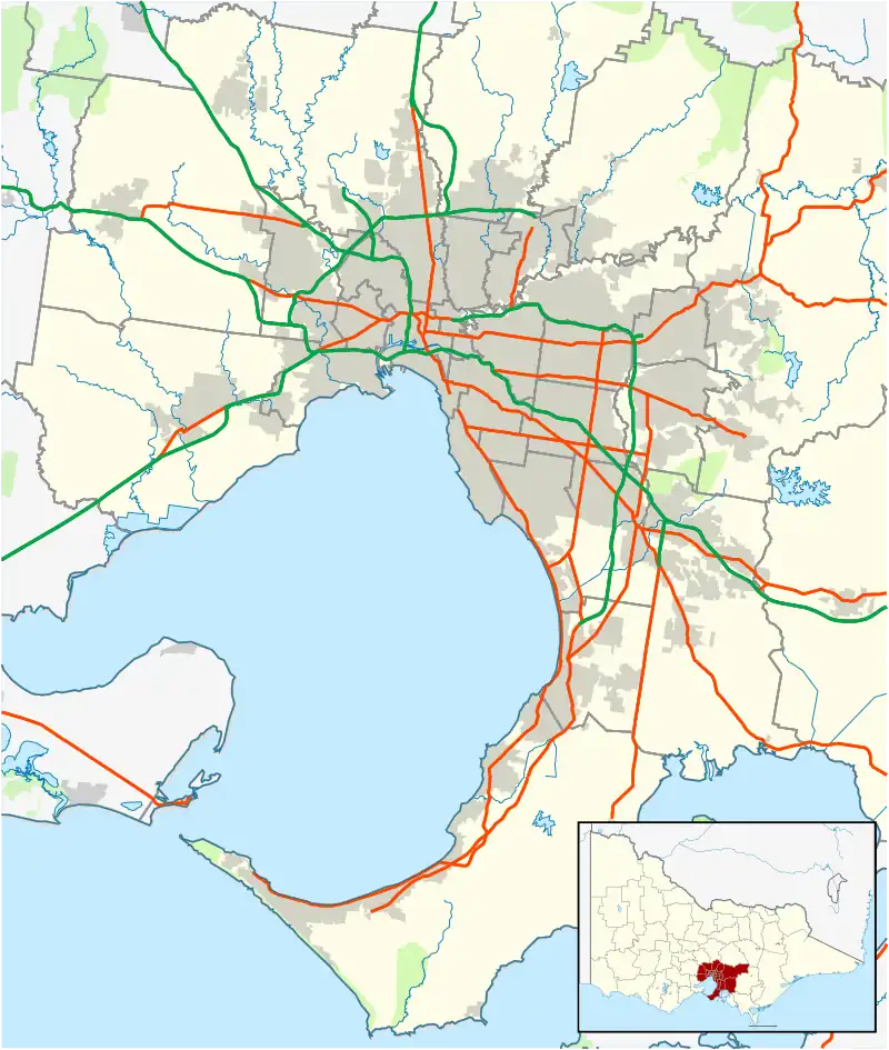
Dandenong North is a suburb in Melbourne, Victoria, Australia, 27 km south-east of Melbourne's Central Business District, located within the City of Greater Dandenong local government area. Dandenong North recorded a population of 22,550 at the 2021 census.[1]
| Dandenong North Melbourne, Victoria | |||||||||||||||
|---|---|---|---|---|---|---|---|---|---|---|---|---|---|---|---|
 Dandenong North | |||||||||||||||
| Coordinates | 37.959°S 145.208°E | ||||||||||||||
| Population | 22,550 (2021 census)[1] | ||||||||||||||
| • Density | 2,374/km2 (6,150/sq mi) | ||||||||||||||
| Postcode(s) | 3175 | ||||||||||||||
| Area | 9.5 km2 (3.7 sq mi) | ||||||||||||||
| Location | |||||||||||||||
| LGA(s) | City of Greater Dandenong | ||||||||||||||
| State electorate(s) | |||||||||||||||
| Federal division(s) | Bruce | ||||||||||||||
| |||||||||||||||
History
Dandenong North Post Office opened on 18 July 1955 as the suburb was developed.[2]
About
Dandenong North is situated approximately 30 kilometres from the CBD, being very close to the Monash Freeway ![]() , the road formerly known as the South Eastern Arterial and the Mulgrave Freeway. There are several schools in the locality. The area was once known as Lyndale. Dandenong North is also subject to the EastLink Freeway (which connects the South-East with the Eastern Arterials).
, the road formerly known as the South Eastern Arterial and the Mulgrave Freeway. There are several schools in the locality. The area was once known as Lyndale. Dandenong North is also subject to the EastLink Freeway (which connects the South-East with the Eastern Arterials).
55% of Dandenong North residents were born overseas.
See also
- City of Dandenong – Dandenong North was previously within this former local government area.
References
- Australian Bureau of Statistics (28 June 2022). "Dandenong North (Suburbs and Localities)". 2021 Census QuickStats. Retrieved 13 July 2022.
- Phoenix Auctions History, Post Office List, retrieved 1 April 2021