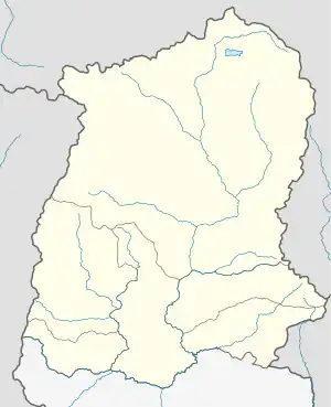
List of districts of Sikkim
There are 6 districts in Sikkim, an Indian state, each overseen by a Central Government appointee, the district collector, who is in charge of the administration of the civilian areas of the districts. The Indian army has control of a large territory, as the state is a sensitive border area. Many areas are restricted and permits are needed to visit them. There are a total of eight towns and nine subdivisions in Sikkim.
| Districts of Sikkim | |
|---|---|
 Districts of Sikkim | |
| Category | Districts |
| Location | Sikkim |
| Number | 6 districts |
| Populations | Mangan – 43,354 (lowest); Gangtok – 281,293 (highest) |
| Areas | Soreng – 293 km2 (113 sq mi) (smallest); Mangan – 4,226 km2 (1,632 sq mi) (largest) |
| Government | |
On December 21, 2021, the Government of Sikkim announced the formation of 2 new districts as well as the renaming of the existing 4 districts. North Sikkim district will now be called Mangan; West Sikkim district will be Gyalshing, East Sikkim district will now be Gangtok district and South Sikkim will be Namchi district.[1]
.jpg.webp)
The six districts are:
# |
Code[2] |
District[3] |
Headquarters |
Population (2011) |
Area (km2) |
Density (/km2)[3] |
Official Website |
Map |
| 1 | ES | Gangtok | Gangtok | 281,293 | 954 | 295 | gangtokdistrict |
.svg.png.webp) |
| 2 | NS | Mangan | Mangan | 43,354 | 4,226 | 10 | mangan |
.svg.png.webp) |
| 3 | PS | Pakyong | Pakyong | 74,583 | 404 | 180 | .svg.png.webp) | |
| 4 | SGS | Soreng | Soreng | 64,760 | 293 | 221 | soreng |
.svg.png.webp) |
| 5 | SS | Namchi | Namchi | 146,742 | 750 | 196 | namchi |
.svg.png.webp) |
| 6 | WS | Gyalshing | Gyalshing | 136,299 | 1,166 | 117 | gyalshing |
.svg.png.webp) |
| IN-SK | Sikkim | Gangtok | 610,577 | 7,096 | 86 | sikkim sikkim |
| |
References
- "Sikkim gets two new districts, rejigs others". Retrieved 22 December 2021.
- "NIC Policy on format of e-mail Address: Appendix (2): Districts Abbreviations as per ISO 3166–2" (PDF). Ministry Of Communications and Information Technology, Government of India. 12 February 2018. pp. 5–10. Retrieved 10 May 2021.
- "Indian Districts by Population, Growth Rate, Sex Ratio 2011 Census". 2011 census of India. Retrieved 27 December 2012.
| State symbols | |
|---|---|
| Topics | |
| Administration | |
| Districts | |
| Towns | |
| Rivers | |
| Lakes | |
| Glaciers | |
| See also | |