Douglas-Daly Experiment Station
The Douglas-Daly Experiment Station was an extensive research site of the Northern Territory Administration (NTA) of the Government of Australia and, after statehood, of the Northern Territory Government. It formed part of a string of similar research sites in northern Australia. Located at the junction of the Douglas and Daly Rivers and covering an area of approximately 100 km², the site spanned three major soil types of the Top End of the Northern Territory — Blain, Tippera and Florina soil types.
| Established | 1965[1] |
|---|---|
Field of research | Agriculture |
| Address | 725 Jungwa Road[2] |
| Location | Douglas-Daly, Northern Territory, Australia 13°50′04″S 131°10′59″E[3] |
| 0822 | |
Operating agency | Department of Primary Industry and Resources[2] Northern Territory Government |
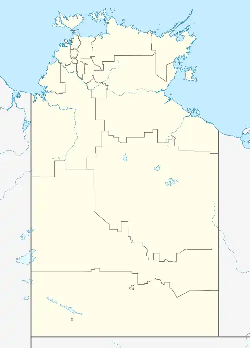
| Map | |
 Location in Northern Territory | |
The climate is hot-humid tropical with a distinct six-month dry season and an annual rainfall of around 1 m. It was used mainly for pasture, forage, and grazing experiments, with its main research activity beginning in the 1960s and continuing until the break-up of the site into development farms in the 1980s.
Research from the site is mainly documented in scientific journal papers and annals of the NTA. Among the researchers on the site have been Bruce Franks, John Sturtz, John Austin and Lindsay Falvey, who were supported by the manager Heinz Mollman. The site was also used by CSIRO, especially for the rock-phosphate research of Ray Swaby.
Douglas Daly School
The research farm has hosted a primary school for the children of farm employees and local residents since 1982. In 2018, the school, which is operated by the Northern Territory Government, had a total enrolment of 12 students and a teaching staff of three.[1]: 12 [4]
Weather station
The Douglas-Daly Research Farm has been the site of an official weather station since January 1968.[1]: 12
| Climate data for Douglas River Research Farm (sic), Douglas-Daly, Northern Territory | |||||||||||||
|---|---|---|---|---|---|---|---|---|---|---|---|---|---|
| Month | Jan | Feb | Mar | Apr | May | Jun | Jul | Aug | Sep | Oct | Nov | Dec | Year |
| Average high °C (°F) | 33.7 (92.7) |
33.5 (92.3) |
34.0 (93.2) |
34.7 (94.5) |
33.3 (91.9) |
31.4 (88.5) |
31.9 (89.4) |
33.6 (92.5) |
36.8 (98.2) |
37.8 (100.0) |
36.9 (98.4) |
35.0 (95.0) |
34.4 (93.9) |
| Average low °C (°F) | 23.9 (75.0) |
23.7 (74.7) |
23.2 (73.8) |
20.5 (68.9) |
16.7 (62.1) |
13.7 (56.7) |
12.9 (55.2) |
14.0 (57.2) |
18.6 (65.5) |
22.3 (72.1) |
23.6 (74.5) |
23.8 (74.8) |
19.7 (67.5) |
| Average rainfall mm (inches) | 290.0 (11.42) |
283.2 (11.15) |
226.0 (8.90) |
49.9 (1.96) |
9.9 (0.39) |
2.0 (0.08) |
2.4 (0.09) |
1.2 (0.05) |
5.2 (0.20) |
35.8 (1.41) |
124.8 (4.91) |
214.5 (8.44) |
1,245.8 (49.05) |
| Average rainy days | 14.4 | 13.3 | 11.2 | 3.2 | 0.9 | 0.1 | 0.2 | 0.2 | 0.7 | 3.1 | 7.9 | 11.0 | 66.2 |
| Source: [5] | |||||||||||||
References
- Shotton, Peter C. (2011), A historical overview of agricultural research at Douglas Daly Research Farm (1960s-2010) (PDF), Northern Territory Government, p. 1 & 12, ISBN 978-0-7245-4747-0
- "Department of Primary Industry and Resources, ANNUAL REPORT 2017-2018" (PDF). Department of Primary Industry and Resources. Northern Territory Government. p. 35. Retrieved 20 May 2019.
- "Place Names Register Extract for "Douglas-Daly Experiment Station"". NT Place Names Register. Northern Territory Government. Retrieved 26 May 2019.
- "Douglas Daly School, Douglas-Daly, NT", My School, Australian Curriculum, Assessment and Reporting Authority (ACARA), 2018, retrieved 30 October 2019
- "Douglas River Research Farm (sic)". Climate statistics for Australian locations. Bureau of Meteorology. Retrieved 20 May 2019.
Further reading
- Australian Journal of Experimental Agriculture and Animal Husbandry 17:724-727. "Response of steers to dry season supplementation on improved pastures." (1977).