Drumcarban
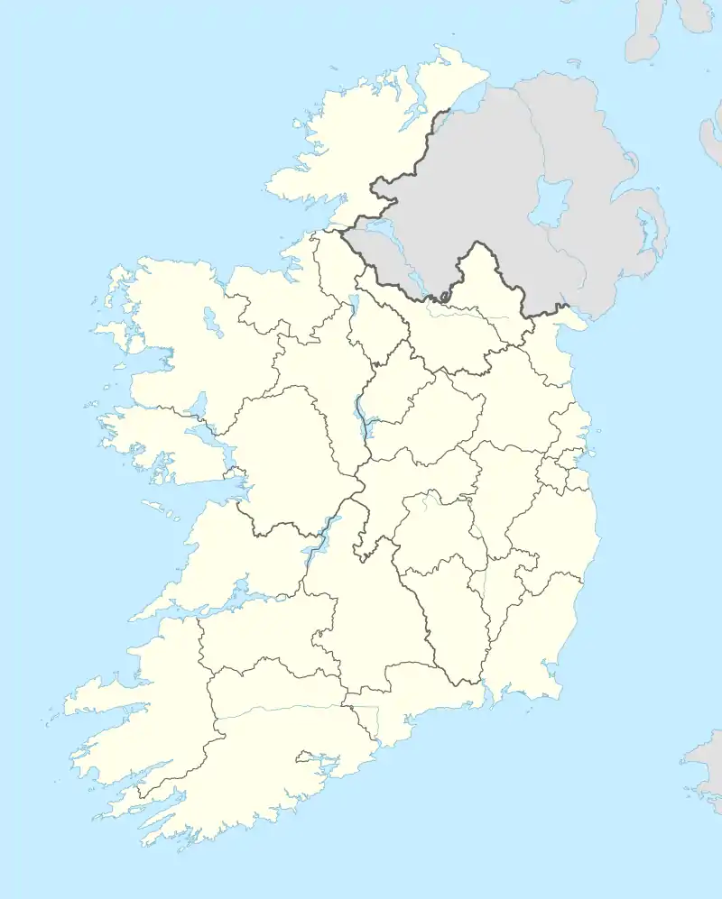
Drumcarban (Irish: Droim Chearbán, meaning 'ridge of buttercups')[2] is a townland in County Cavan, Ireland, in the electoral division of the same name. The townland lies west of the R154 regional road. Neighbouring townlands are (clockwise, starting in the north): Cornamucklagh, Newtown, Drumbar, Coolnacarrick, Legaweel, Legaginny, Lackan Lower, and Drumcrow. On the boundary with the latter lies White Lough.
Drumcarban
Droim Chearbán | |
|---|---|
Townland | |
 Drumcarban Location in Ireland | |
| Coordinates: 53°56′13″N 7°26′53″W | |
| Country | Ireland |
| Province | Ulster |
| County | County Cavan |
| Elevation | 112 m (367 ft) |
| Population (2006)[1] | 556 |
| Time zone | UTC+0 (WET) |
| • Summer (DST) | UTC-1 (IST (WEST)) |
| Irish Grid Reference | N3698 |
References
- "Population of each Province, County, City, urban area, rural area and Electoral Division, 2002 and 2006" (PDF). Census Statistics Office Ireland. 2006. Retrieved 25 July 2012.
- "Droim Chearbán/Drumcarban". Placenames Database of Ireland (logainm.ie). Retrieved 10 January 2022.
Places in County Cavan | ||
|---|---|---|
| Towns | 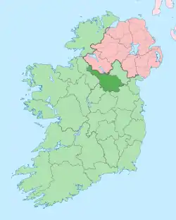 | |
| Villages |
| |
| Townlands | ||
| ||
This article is issued from Wikipedia. The text is licensed under Creative Commons - Attribution - Sharealike. Additional terms may apply for the media files.