Drumtroddan standing stones
The Drumtroddan standing stones (grid reference NX 36449 44300) are a small Neolithic or Bronze Age stone alignment in the parish of Mochrum, Wigtownshire, Dumfries and Galloway.[1] The monument comprises three stones, only one of which is now standing, aligned northeast-southwest.[2][3] The two end stones are 3m in length; the middle stone is roughly 2.7m long.[3] The stones were likely set up in the 3rd or 2nd millennium BCE but sites of this type are difficult to date.[2] Short stone row alignments are considered to be relatively late constructions; however, the height of the stones in this monument may indicate that it dates from an earlier period.[2]
| Drumtroddan standing stones | |
|---|---|
 The site in 2005 before the second stone fell. | |
| Coordinates | 54.766910°N 4.5437526°W |
| Designated | 31 December 1921 |
| Reference no. | SM90102 |
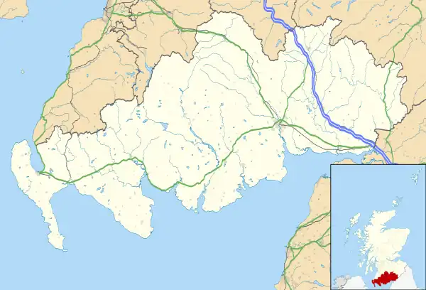
 Location of Drumtroddan standing stones in Dumfries and Galloway | |
The original purpose of the monument is unclear. It has been suggested that it may have been used in observations of the sun or moon.[2] Monuments of this type are found in concentrations in south-west Ireland, south-west Scotland, and the western seaboards of Scotland.[2] The standing stones are part of larger landscape of prehistoric sites which includes the nearby Drumtroddan cup and ring marked rocks and the Big Balcraig cup and ring marked rocks.[2]
Drumtroddan is a Gaelic name meaning 'ridge of the quarrel' from Gaelic druim 'ridge' and trodan 'quarrel, contention'.[4][5]
References
- "Drumtroddan | Canmore". canmore.org.uk. Archived from the original on 11 November 2019. Retrieved 11 November 2019.
- "Drumtroddan Standing Stones Statement of Significance | HES | History". www.historicenvironment.scot. Archived from the original on 7 May 2019. Retrieved 11 November 2019.
- "Drumtroddan,three standing stones SE of High Park Plantation (SM90102)". portal.historicenvironment.scot. Archived from the original on 14 November 2018. Retrieved 11 November 2019.
- MacQueen, John (2008). Place-names of the Wigtownshire Moors and Machars. Stranraer: Stranraer and District Local History Trust. p. 109. ISBN 978 0 9542966 9 8.
- Maxwell, Herbert (1930). The Place Names of Galloway: Their Origin & Meaning Considered. Wigtown: G. C. Book Publishers Ltd. pp. 126–127.