Duffy, Muskoka District
Duffy is a railway point and unincorporated place in geographic Medora Township in the municipality of Muskoka Lakes, District Municipality of Muskoka in Central Ontario, Canada.[1][3][4][5][6] It is on the Canadian Pacific Railway main line between the railway point of Roderick to the south and the dispersed rural community of Mactier to the north. Duffy is on Haggart Creek, and adjacent to Cassady Lake (upstream) and Roderick Lake (downstream) on that creek.[1][3][4]
Duffy | |
|---|---|
Railway point | |
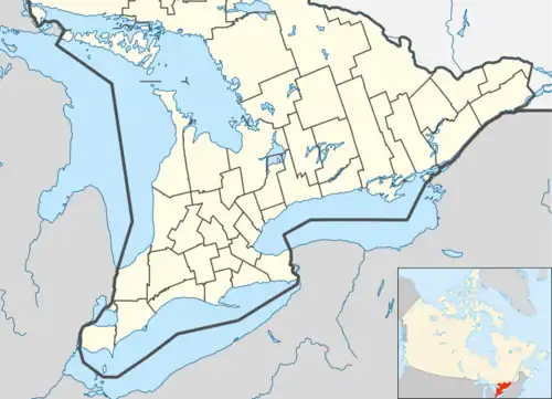
 Duffy Location in Southern Ontario | |
| Coordinates: 45°04′51″N 79°42′33″W[1] | |
| Country | Canada |
| Province | Ontario |
| District | Muskoka |
| Municipality | Muskoka Lakes |
| Elevation | 231 m (758 ft) |
| Time zone | UTC-5 (Eastern Time Zone) |
| • Summer (DST) | UTC-4 (Eastern Time Zone) |
References
- "Duffy". Geographical Names Data Base. Natural Resources Canada. Retrieved 2018-08-11.
- "Google Earth". Retrieved 2018-08-11.
- "Toporama". Atlas of Canada. Natural Resources Canada. Retrieved 2018-08-11.
- "CLAIMaps IV". Ontario Ministry of Northern Development and Mines. 2016. Retrieved 2018-08-11.
- Map 5 (PDF) (Map). 1 : 700,000. Official road map of Ontario. Ministry of Transportation of Ontario. 2016-01-01. Retrieved 2018-08-11.
- Restructured municipalities - Ontario map #4 (Map). Restructuring Maps of Ontario. Ontario Ministry of Municipal Affairs and Housing. 2006. Retrieved 2018-08-11.
This article is issued from Wikipedia. The text is licensed under Creative Commons - Attribution - Sharealike. Additional terms may apply for the media files.