Murighiol
Murighiol (Independența from 1983 to 1996) is a commune in Tulcea County, Northern Dobruja, Romania. It is composed of seven villаges:
- Murighiol
- Plopul (formerly Beibudzac)
- Colina (Russian: Калина)
- Dunavățu de Jos (Russian: Долни Дунавец)
- Dunavățu de Sus (Russian: Горни Дунавец)
- Sarinasuf
- Uzlina
Murighiol | |
|---|---|
.jpg.webp) | |
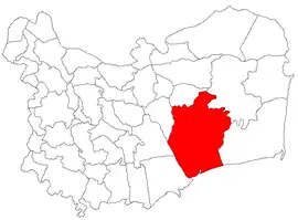 Location in Tulcea County | |
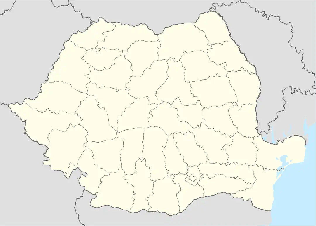 Murighiol Location in Romania | |
| Coordinates: 45°02′N 29°10′E | |
| Country | Romania |
| County | Tulcea |
| Subdivisions | Colina, Dunavățu de Jos, Dunavățu de Sus, Murighiol, Plopul, Sarinasuf, Uzlina |
| Government | |
| • Mayor (2020–2024) | Filip Ivanov[1] (PNL) |
| Area | 804.49 km2 (310.62 sq mi) |
| Elevation | 11 m (36 ft) |
| Population (2011-10-31)[2] | 3,217 |
| • Density | 4.0/km2 (10/sq mi) |
| Time zone | EET/EEST (UTC+2/+3) |
| Postal code | 827150 |
| Area code | +40 x40 |
| Vehicle reg. | TL |
| Website | primaria-murighiol |
The commune is lies in the southeastern part of the county, on the southern side of the Danube Delta. It covers an area of 804.49 km2 (310.62 sq mi), bordered to the north by the Sfântu Gheorghe branch of the Danube, Lake Razelm to the west, and the Black Sea to the south.
At the 2011 census, 94.6% of the inhabitants were Romanians, 4.5% Ukrainians, and 0.4% Turks.
The commune's name is of Turkish origin: moru ("violet") and göl ("lake") compounded to mean "violet lake".[3]
The archaeological site of Halmyris is located near the village of Murighiol. Halmyris was a Roman legionary fort from the 1st–4th centuries CE. It is currently under excavation.
References
- "Results of the 2020 local elections". Central Electoral Bureau. Retrieved 15 June 2021.
- "Populaţia stabilă pe judeţe, municipii, oraşe şi localităti componenete la RPL_2011" (XLS). National Institute of Statistics.
- Limba română, p.264. Institutul de Lingvistică din București, 1978