East Eleri
East Eleri is a grama panchayat in Kasaragod district in the Kerala state, India. Its major villages include Chittarikkal and Palavayal.
East Eleri
ഈസ്റ്റ് എളേരി | |
|---|---|
Grama Panchayat | |
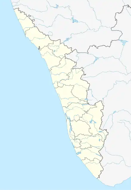 East Eleri Location in Kerala, India (East Eleri Panchayath Office)  East Eleri East Eleri (India) | |
| Coordinates: 12.323412°N 75.356617°E | |
| Country | |
| State | Kerala |
| District | Kasaragod district |
| Government | |
| • Type | Grama panchayat |
| Area | |
| • Total | 62.52 km2 (24.14 sq mi) |
| Population (2011) | |
| • Total | 25,075 [1] |
| Languages | |
| • Official | Malayalam, English |
| Time zone | UTC+5:30 (IST) |
| PIN | 671 326 |
| Website | panchayat |
Wards
The East Eleri Panchayat includes 16 wards:
| Ward No. | Name | Map[2] |
|---|---|---|
| 1 | Mandapam | 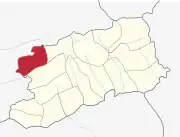 |
| 2 | Chittarikkal | 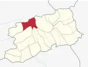 |
| 3 | Pallikkunnu | 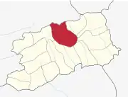 |
| 4 | Kavunthala | 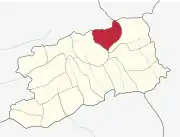 |
| 5 | Thayyeni | 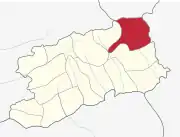 |
| 6 | Malankadavu | 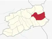 |
| 7 | Palavayal | 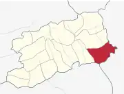 |
| 8 | Eanichal |  |
| 9 | Kannivayal |  |
| 10 | Nallompuzha |  |
| 11 | Ponkal |  |
| 12 | Vellarikundu | 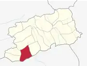 |
| 13 | Kollada | 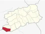 |
| 14 | Kamballur | 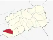 |
| 15 | Kadumeni | 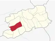 |
| 16 | Kara | 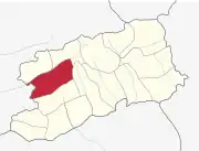 |
References
This article is issued from Wikipedia. The text is licensed under Creative Commons - Attribution - Sharealike. Additional terms may apply for the media files.