Afikpo
Ehugbo often referred to as Afikpo, is the second largest urban area in Ebonyi State, Nigeria. It is the headquarters of the Afikpo North Local Government Area.
Afikpo
Ali Ehugbo Omaka-ejali Ehugbo | |
|---|---|
City | |
 Ehugbo street | |
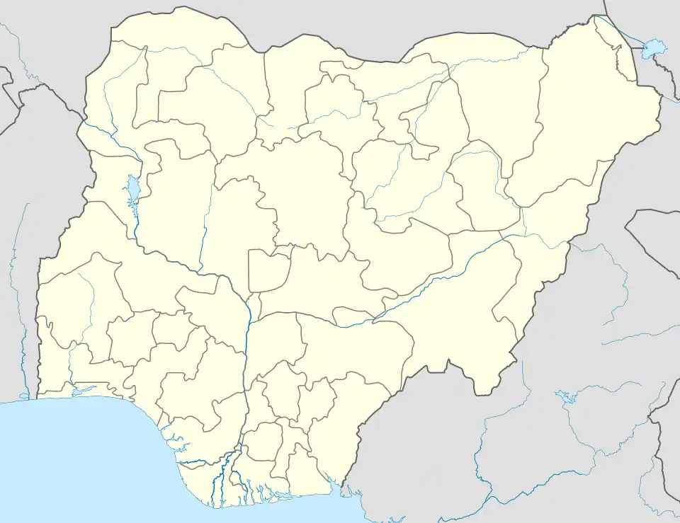 Afikpo Location in Nigeria | |
| Coordinates: 5°53′N 7°56′E | |
| Country | Nigeria |
| State | Ebonyi State |
| Population (2006) | |
| • Total | 156,611 |
It is situated in the southern part of Ebonyi State and is bordered to the north by the town of Akpoha, to the south by Unwana, to the south west by Edda LGA, to the east by the Cross River State and to the west by Amasiri town. Afikpo spans an area approximately 164 km2 (63 sq mi). It is located on 6 degrees north latitude and 8 degrees east longitude. Afikpo is a hilly area despite occupying a region low in altitude, which rises 350 feet (110 m) above sea level. It is a transitional area between open grassland and tropical forest and has an average annual rainfall of 79 inches (2,000 mm).
The population of Afikpo is estimated at 156,611, according to the Nigerian 2006 Census.
Climate
Köppen-Geiger climate classification system classifies its climate as tropical wet and dry (Aw).[1]
| Climate data for Afikpo | |||||||||||||
|---|---|---|---|---|---|---|---|---|---|---|---|---|---|
| Month | Jan | Feb | Mar | Apr | May | Jun | Jul | Aug | Sep | Oct | Nov | Dec | Year |
| Average high °C (°F) | 32.6 (90.7) |
33.8 (92.8) |
33.8 (92.8) |
33.4 (92.1) |
32 (90) |
30.8 (87.4) |
29.3 (84.7) |
28.6 (83.5) |
29.9 (85.8) |
30.8 (87.4) |
32.1 (89.8) |
32.6 (90.7) |
31.6 (89.0) |
| Daily mean °C (°F) | 27.5 (81.5) |
28.5 (83.3) |
29 (84) |
28.7 (83.7) |
27.6 (81.7) |
26.7 (80.1) |
25.4 (77.7) |
25.6 (78.1) |
26 (79) |
26.6 (79.9) |
27.4 (81.3) |
27.4 (81.3) |
27.2 (81.0) |
| Average low °C (°F) | 22.5 (72.5) |
23.2 (73.8) |
24.2 (75.6) |
24 (75) |
23.3 (73.9) |
22.6 (72.7) |
22.2 (72.0) |
22.7 (72.9) |
22.2 (72.0) |
22.4 (72.3) |
22.8 (73.0) |
22.3 (72.1) |
22.9 (73.1) |
| Average precipitation mm (inches) | 19 (0.7) |
34 (1.3) |
84 (3.3) |
159 (6.3) |
247 (9.7) |
261 (10.3) |
303 (11.9) |
270 (10.6) |
309 (12.2) |
269 (10.6) |
57 (2.2) |
10 (0.4) |
2,022 (79.5) |
| Source: Climate-Data.org (altitude: 62m)[1] | |||||||||||||
 Ehugbo dancers
 Landscape around Afikpo
See also
- Igbo people
- Okumkpa, African dance of Igbo Afikpo tribes
References
- "Climate: Afikpo - Climate graph, Temperature graph, Climate table". Climate-Data.org. Retrieved 2014-02-20.