El Terril
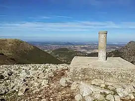
Pico del Terril, commonly known as El Terril or Terril, is the highest altitude of the Province of Seville, Andalusia, Spain, with a height of 1129 meters above sea level. It is located on the border between the municipalities of Algámitas and Pruna,[2] at the top of the hill known as "El Monigote" which is the highest in the Sierra del Tablón. It neighbors the Peñón de Algámitas.
| El Terril | |
|---|---|
 | |
| Highest point | |
| Elevation | 1,129 m (3,704 ft)[1] |
| Prominence | 493 m (1,617 ft)[1] |
| Coordinates | 36°59′56″N 5°10′24″W[1] |
| Geography | |
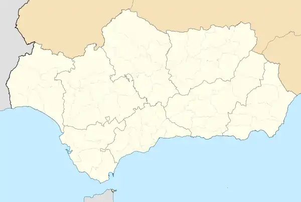
 El Terril Location in Andalusia | |
| Location | Algámitas and Pruna, Province of Seville, Andalusia, Spain |
References
- "Terril, Spain". Peakbagger.com. Retrieved 2021-07-08.
- Instituto Geográfico Nacional - Reseña Vértice Geodésico - Pico Terril - PDF. Consultado 2020-06-09.
This article is issued from Wikipedia. The text is licensed under Creative Commons - Attribution - Sharealike. Additional terms may apply for the media files.