Elder Creek (Tehama County)
Elder Creek is a major stream in Tehama County, California and a tributary of the Sacramento River. It originates at the confluence of its North, Middle and South Forks, which begin in the Mendocino National Forest, and flows 27 miles (43 km)[2] east to its confluence with the Sacramento River about a mile (1.6 km) east of Gerber and 2 miles (3.2 km) north of Tehama. Measured to the head of its longest tributary, the South Fork, Elder Creek has a total length of 42 miles (68 km),[2] draining a watershed of about 150 square miles (390 km2).[3] Like the other streams draining this part of the western Sacramento Valley, Elder Creek is a highly seasonal stream that flows only during the winter and spring.[5]
| Elder Creek | |
|---|---|
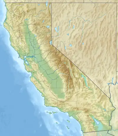 Location of Elder Creek in California | |
| Location | |
| Country | United States |
| State | California |
| Physical characteristics | |
| Source | California Coast Ranges |
| • location | Mendocino National Forest |
| • coordinates | 40°00′48″N 122°33′00″W[1] |
| • elevation | 801 ft (244 m) |
| Mouth | Sacramento River |
• location | Near Gerber |
• coordinates | 40°02′35″N 122°06′57″W[1] |
• elevation | 207 ft (63 m) |
| Length | 27 mi (43 km)[2] |
| Basin size | 150.5 sq mi (390 km2)[3] |
| Discharge | |
| • location | Gerber, California[4] |
| • average | 110 cu ft/s (3.1 m3/s)[4] |
| • minimum | 0 cu ft/s (0 m3/s) |
| • maximum | 14,100 cu ft/s (400 m3/s) |
Elder Creek was so named for the elder trees lining its course.[6] A variant name was Arroyo de los Saucos.[1]
See also
References
- "Elder Creek". Geographic Names Information System. United States Geological Survey, United States Department of the Interior. 1981-01-19. Retrieved 2016-12-05.
- "USGS National Atlas Streamer". United States Geological Survey. Archived from the original on 2014-05-28. Retrieved 2016-12-05.
- "Tehama West Watershed Management Plan" (PDF). Resource Conservation District of Tehama County. August 2008. Retrieved 2016-12-05.
- "USGS Gage #11380500 on Elder Creek at Gerber, CA". National Water Information System. U.S. Geological Survey. 1949–1979. Retrieved 2016-12-05.
- "Tehama West Watershed". Sacramento River Watershed Program. Retrieved 2016-12-05.
- "Place Names" (PDF). Tehama County Department of Education. Archived from the original (PDF) on 8 May 2017. Retrieved 25 March 2018.