Eleme, Rivers
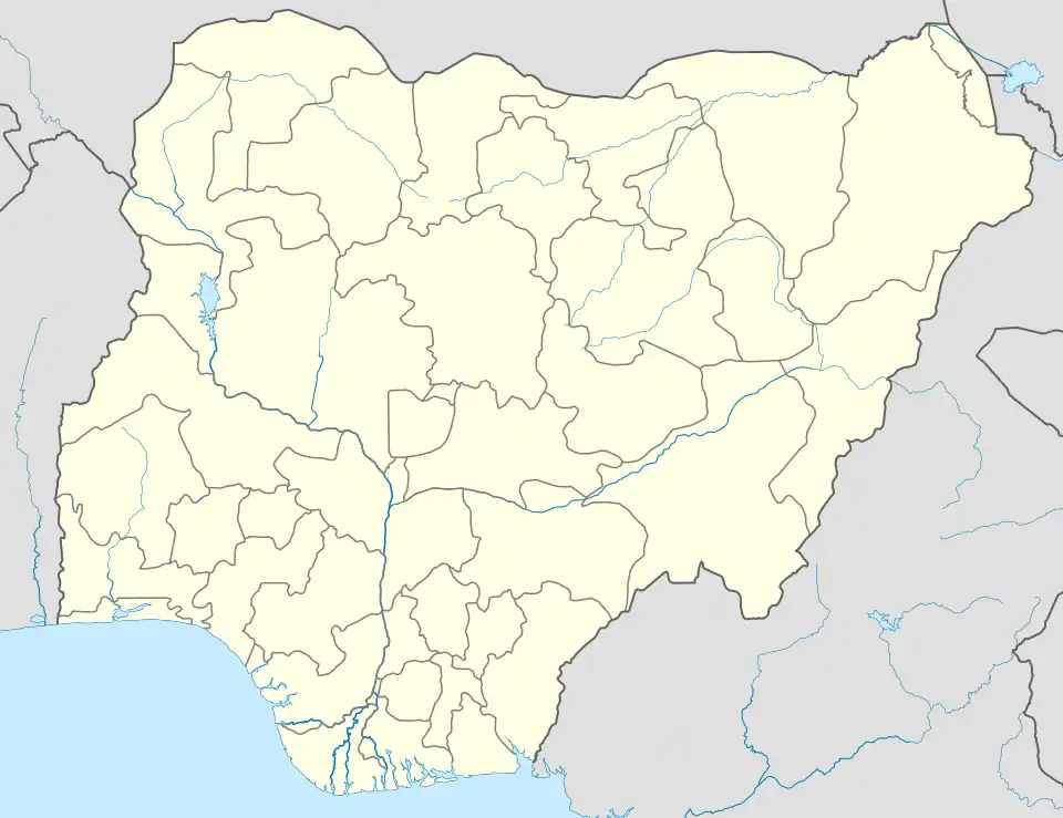
Eleme is a local government area in Rivers State, Nigeria.[1] It is part of the Port Harcourt metropolitan city.
Eleme | |
|---|---|
 Eleme  Eleme | |
| Coordinates: 4°47′15″N 7°8′37″E | |
| Country | Nigeria |
| State | Rivers State |
| Date created | 1996 |
| Seat | Ogale |
| Government | |
| • Local Government Chairman | Obarilomate Ollor (PDP) |
| • Deputy Local Government Chairman | Virtue Ekee (PDP) |
| • Local Government Council | Ward 1: Victor Daddy Chickere (PDP) Ward 2: Jerry Nwolu Ejor (PDP) Ward 3: Josephine Obari (PDP) Ward 4: Patience Dabor (PDP) Ward 5: Freedom Lekwa (PDP) Ward 6: Dominic Okolah Ollor (PDP) Ward 7: Roberts Ogosu (PDP) Ward 8: Isaac Obele-Chu (PDP) Ward 9: Victor Goka (PDP) Ward 10: Jima Daniel Chumu (PDP) |
| Area | |
| • Total | 53 sq mi (138 km2) |
| Population (2006) | |
| • Total | 190,884 |
| Time zone | UTC+1 (WAT) |
Eleme has its headquarters in the town of Ogale. It covers an area of 138 km2 and at the 2006 Census had a population of 190,884.[2] The Eleme people are Eleme's main indigenous ethnic group.[3] Eleme LGA has two districts- Nchia and Odido and both administered under the Crown of the Oneh Eh Eleme (King of Eleme.)
The Eleme language, of the Cross-River branch of the larger Niger-Congo language family,[4] is the main spoken language.[5]
Eleme has two of Nigeria's four, as of 2005, petroleum refineries and one of Nigeria's busiest seaport and the largest seaport in West Africa located at Onne, a famous town with numerous industries.[6]
Towns and villages in Eleme Local government
Eleme has ten major towns or principalities which they refer to as The Ten Kingdoms. Each of these towns has numerous clans, subclans and villages. The ten major towns includes:
- Agbonchia
- Akpajo
- Alesa
- Aleto
- Alode
- Ebubu
- Ekporo
- Eteo
- Ogale
- Onne
References
- Environment, U. N. (2017-09-21). "About Ogoniland". UNEP - UN Environment Programme. Retrieved 2023-04-28.
- "An Assessment of the Socio-economic Effects ofLand Use Trends and Population Growth in Eleme, Rivers State, Nigeria" (PDF). International Journal of Scientific & Engineering Research. 11.
- "Map - Eleme - MAP[N]ALL.COM". www.mapnall.org. Retrieved 2021-09-18.
- Anderson, Gregory D. S. (2006) "Appendix: Classification of Languages Used in Database for Study" Auxiliary verb constructions Oxford University Press, Oxford, England, page 400, ISBN 0-19-928031-2
- Udoh, Imelda Icheji Lawrence (editor) (2003) The languages of the South-South zone of Nigeria: a geo-political profile Concept Publications, Lagos, Nigeria, pages 85, 87, ISBN 978-8065-27-9
- Udogu, Emmanuel Ike (2005) Nigeria in the twenty-first century: strategies for political stability and peaceful coexistence Africa World Press, Trenton, New Jersey, page 72, ISBN 1-59221-319-7
External links
Local government areas of Rivers State | ||
|---|---|---|
| LGAs |  | |