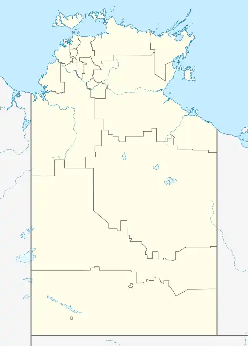
Elrundie, Northern Territory
Elrundie is a suburb in the Northern Territory of Australia located in Darwin about 13 kilometres (8.1 mi) east of Darwin City overlooking a part of Darwin Harbour known as the East Arm.[4][1][6]
| Elrundie Northern Territory | |||||||||||||||
|---|---|---|---|---|---|---|---|---|---|---|---|---|---|---|---|
 Elrundie | |||||||||||||||
| Coordinates | 12°29′21″S 130°56′23″E[1] | ||||||||||||||
| Population | 0 (2016 census)[2] | ||||||||||||||
| Established | 21 April 2004[3] | ||||||||||||||
| Postcode(s) | 0822[4] | ||||||||||||||
| Time zone | ACST (UTC+9:30) | ||||||||||||||
| Location | 13 km (8 mi) E of Darwin City | ||||||||||||||
| LGA(s) | unincorporated area[5][6] | ||||||||||||||
| Territory electorate(s) | Spillett[7] | ||||||||||||||
| Federal division(s) | Solomon[8] | ||||||||||||||
| |||||||||||||||
| |||||||||||||||
| Footnotes | Locations[4] Adjoining suburbs[5] | ||||||||||||||
Elrundie consists of land associated with a peninsula known as the Elrundie Peninsula and part of the channels of the following waterbodies that bound the peninsula's coastline: the Hudson Creek to the north-west, the Elizabeth River to the south-west and the Myrmidon Creek to the south-east.[5][10]
The name is derived from Elrundie Flat, a name which is considered to be of Aboriginal origin and which was first used in 1869 in a document prepared by A.J. Mitchell, a member of the Goyder expedition to the Northern Territory. The suburb's boundary and name were gazetted on 21 April 2004.[3][1][11]
The 2016 Australian census which was conducted in August 2016 reports that Elrundie had no people living within its boundaries.[2]
Elrundie is located within the federal division of Solomon, the territory electoral division of Spillett and part of the unincorporated areas of the Northern Territory.[8][7][5]
See also
References
- "Place Names Place Names Register Extract for "Elrundie" (Suburb)". NT Place Names Register. Northern Territory Government. Retrieved 6 June 2019.
- Australian Bureau of Statistics (27 June 2017). "Elrundie (State Suburb)". 2016 Census QuickStats. Retrieved 6 June 2019.
- Burns, Christopher. B. (21 April 2004). "Place Names Act, Naming of Public Place ("East Arm localities")" (PDF). The Northern Territory Government Gazette. Northern Territory Government. p. 7. Retrieved 6 June 2019.
...the localities shown by thick black lines on the plans appearing in the Schedule be named East Arm, Hidden Valley, Wishart, Tivendale, Elrundie, Wickham and Channel Island, as indicated on those plans.
- "Elrundie Postcode". postcode-finders.com.au. Retrieved 6 June 2019.
- "Search result for 'Elrundie'". NT Atlas. Northern Territory Government. Retrieved 7 June 2019.
- "Localities within Un-Incorporated area" (PDF). Place Names Committee. Northern Territory Government. Retrieved 30 April 2019.
- "Division of Spillett". Northern Territory Electoral Commission SA. Retrieved 8 June 2019.
- "Federal electoral division of Solomon". Australian Electoral Commission. Retrieved 6 June 2019.
- "Monthly climate statistics: Summary statistics DARWIN AIRPORT (nearest weather station)". Commonwealth of Australia , Bureau of Meteorology. Retrieved 6 June 2019.
- "Place Names Register Extract for 'Elrundie Peninsula'". NT Place Names Register. Northern Territory Government. Retrieved 7 June 2019.
- "Arrival of the Gulnare From the Northern Territory". Evening Journal. Vol. I, no. 265. South Australia. 15 November 1869. p. 2 (Third Edition). Retrieved 7 June 2019 – via National Library of Australia.