Ernée (river)
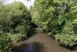
The Ernée is a 65.2 km (40.5 mi) long river in the department of Mayenne, Pays de la Loire, northwestern France.[2] Its source is in the commune of Levaré, and it flows through the communes of Ernée, Chailland, Andouillé and Saint-Germain-le-Fouilloux, before flowing into the river Mayenne (right bank) at Saint-Jean-sur-Mayenne.
| Ernée | |
|---|---|
 | |
  | |
| Location | |
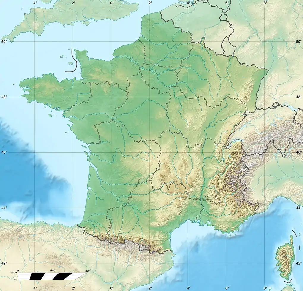
| Country | France |
| Region | Pays de la Loire |
| Physical characteristics | |
| Source | |
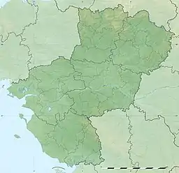
| • location | Between Levaré and Saint-Berthevin-la-Tannière, Mayenne, Pays de la Loire, France |
| • elevation | 225 m (738 ft) |
| Mouth | Mayenne |
• coordinates | 48°7′21″N 0°45′14″W |
| Length | 65.2 km (40.5 mi) |
| Discharge | |
| • location | Andouillé |
| • average | 3.9 m3/s (140 cu ft/s)[1] |
| Basin features | |
| Progression | Mayenne→ Maine→ Loire→ Atlantic Ocean |
References
This article is issued from Wikipedia. The text is licensed under Creative Commons - Attribution - Sharealike. Additional terms may apply for the media files.