Esch, Netherlands
Esch is a village in the Dutch province of North Brabant. It is located in the municipality of Boxtel.
Esch | |
|---|---|
Village | |
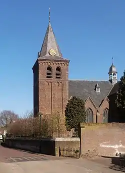
 Sint-Willibrorduskerk church | |
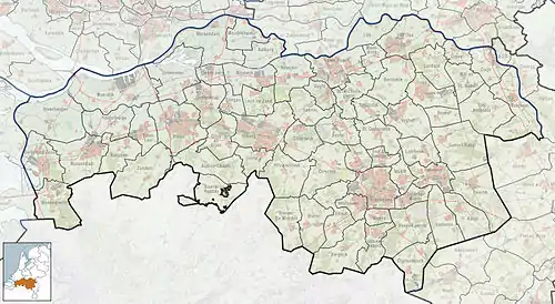
 Esch Location in the province of North Brabant in the Netherlands  Esch Esch (Netherlands) | |
| Coordinates: 51°36′37″N 5°17′26″E | |
| Country | Netherlands |
| Province | North Brabant |
| Municipality | Boxtel |
| Area | |
| • Total | 5.47 km2 (2.11 sq mi) |
| Elevation | 6 m (20 ft) |
| Population (2021)[1] | |
| • Total | 2,145 |
| • Density | 390/km2 (1,000/sq mi) |
| Time zone | UTC+1 (CET) |
| • Summer (DST) | UTC+2 (CEST) |
| Postal code | 5296[1] |
| Dialing code | 0411 |
History
The village was first mentioned in 773 or 774 as Hesc, and probably means "ash (Fraxinus excelsior) forest".[3] Esch is a church village which developed in the Early Middle Ages along the Esserstroom. The Abbey of Echternach had possessions in Esch back in the 8th century.[4]
The tower of the St Willibrordus Church dates from the late-15th century. The church was built between 1926 and 1927 in Byzantine Revival style. The convert Sancta Monica was built in 1895 by the missionary sisters Onze-Lieve-Vrouwe van Afrika (Our Lady of Africa).[4] In 2012, the convent was convert into an apartment building.[5]
Esch was home to 245 people in 1840.[5] Esch was a separate municipality until 1996, when it was merged with Haaren.[6]
Gallery
 Map of 1867
 House in Esch
 Street of Esch
 Houses in Esch
References
- "Kerncijfers wijken en buurten 2021". Central Bureau of Statistics. Retrieved 15 April 2022.
two entries
- "Postcodetool for 5296AA". Actueel Hoogtebestand Nederland (in Dutch). Het Waterschapshuis. Retrieved 15 April 2022.
- "Esch - (geografische naam)". Etymologiebank (in Dutch). Retrieved 15 April 2022.
- Chris Kolman & Ronald Stenvert (1997). Esch (in Dutch). Zwolle: Waanders. ISBN 90 400 9945 6. Retrieved 15 April 2022.
- "Esch". Plaatsengids (in Dutch). Retrieved 15 April 2022.
- Ad van der Meer and Onno Boonstra, Repertorium van Nederlandse gemeenten, KNAW, 2011.