Estremadura Limestone Massif
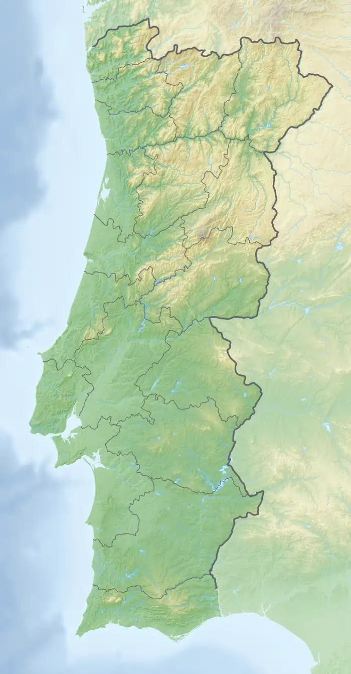
The Estremadura Limestone Massif (Portuguese: Maciço Calcário Estremenho) is a massif located in central west Portugal. Approximately half of the massif is located within the Serras de Aire e Candeeiros Natural Park. The massif has an elongated NE-SW direction and englobes the municipalities of Batalha and Ourém in the north and northeast; Torres Novas and Alcanena in the east and southeast; Rio Maior in the south; and Alcobaça in the west.[1][2][3]
Estremadura Limestone Massif | |
|---|---|
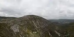 Fórnea, a natural amphitheatre, part of the massif | |
 Estremadura Limestone Massif | |
| Coordinates: 39°33′17″N 8°44′57″W | |
| Location | Leiria & Santarém districts, Portugal |
| Age | Mesozoic |
| Area | |
| • Total | 900 km2 (350 sq mi) |
References
- Azerêdo, Ana C. (2007). "Formal lithostratigraphy of the Lower and Middle Jurassic from the Maciço Calcário Estremenho (Lusitanian Basin)" (PDF). Comunicações Geológicas: 29–51.
- Machado, S.; Mergulhão, L.; Martins, O.; Carvalho, J.M.F (2014). "Geological heritage assessment in mining areas of serra de aire and candeeiros natural park". Comunicações Geológicas. ISSN 0873-948X.
- M. F. Carvalho, Jorge; M. Prazeres, Cátia; Lisboa, José Vitor; J. Sardinha, Rui (2012). "Rochas ornamentais do Maciço Calcário Estremenho : breve caraterização dos recursos, dos centros de produção e delimitação preliminar de áreas potenciais". Boletim de Minas. Retrieved 4 June 2021.
This article is issued from Wikipedia. The text is licensed under Creative Commons - Attribution - Sharealike. Additional terms may apply for the media files.