Fagurhólsmýri
Fagurhólsmýri (Icelandic pronunciation: [ˈfaːɣʏrˌhoulsˌmiːrɪ]; 63.883333°N 16.65°W) is a small village in southern Iceland, located roughly ten kilometres south of the Oraefajokull volcano. The village has its own airport. Local attractions include Ingólshöfdi which is a trail.[1][2]
Fagurhólsmýri | |
|---|---|
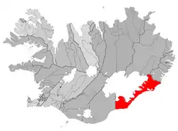 Location of the Municipality of Sveitarfélagið Hornafjörður | |
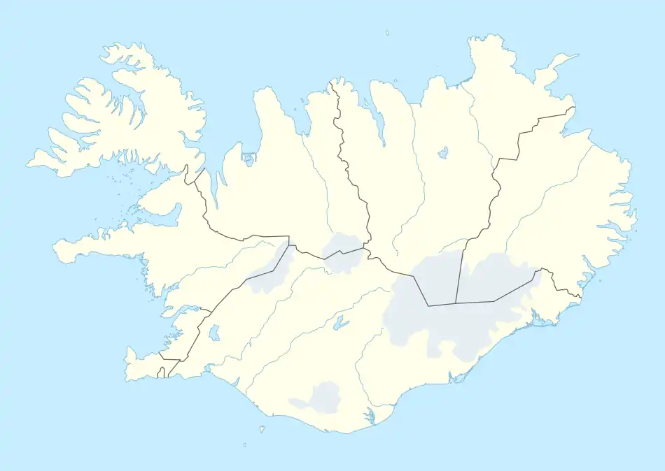 Fagurhólsmýri Location of Fagurhólsmýri in Iceland | |
| Coordinates: 63°52′N 16°38′W | |
| Country | |
| Constituency | South Constituency |
| Region | Eastern Region |
| Municipality | Sveitarfélagið Hornafjörður |
| Time zone | UTC+0 (GMT) |
References
- "Fagurhólsmýri", Trip Carta. Retrieved on 13 February 2018.
- "Ingólshöfdi", Trip Carta. Retrieved on 13 February 2018.
This article is issued from Wikipedia. The text is licensed under Creative Commons - Attribution - Sharealike. Additional terms may apply for the media files.