Hornby-with-Farleton
Hornby-with-Farleton is a civil parish in the City of Lancaster in Lancashire, England. It had a population of 729 recorded in the 2001 census,[1] increasing marginally to 730 at the 2011 census.[2] The parish is about 8.5 miles (13.7 km) north-east of Lancaster and consists of two villages: Hornby and Farleton, both on the A683 road. The parish was formed 24 March 1887 from the parishes of "Hornby" and "Farleton".[3][4]
| Hornby-with-Farleton | |
|---|---|
 River Wenning at Hornby Bridge | |
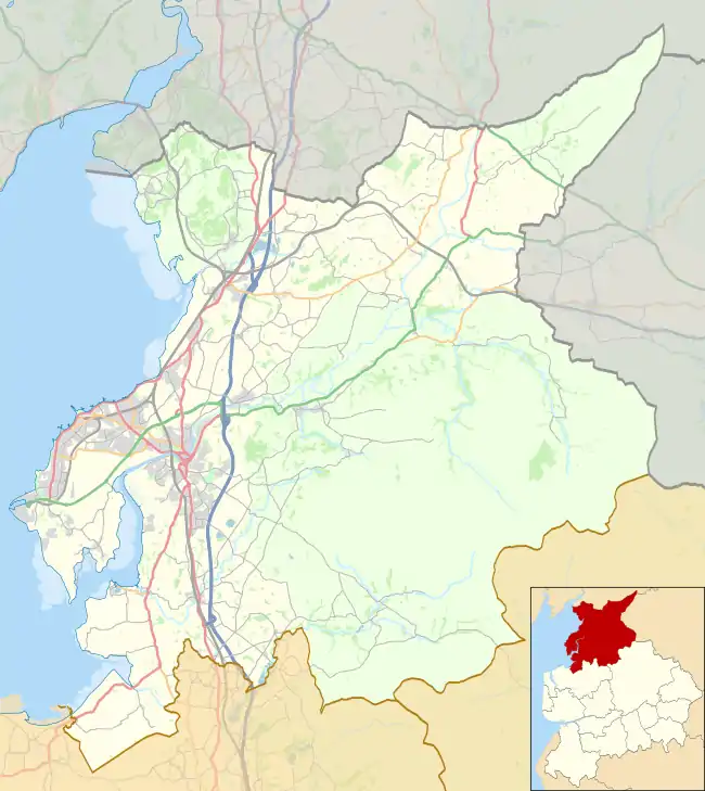
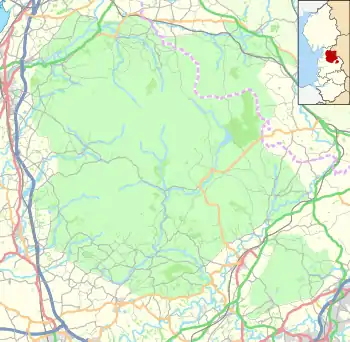
 Hornby-with-Farleton Location in the City of Lancaster district  Hornby-with-Farleton Location in the Forest of Bowland  Hornby-with-Farleton Location within Lancashire | |
| Population | 730 (2011) |
| OS grid reference | SD584684 |
| Civil parish |
|
| District | |
| Shire county | |
| Region | |
| Country | England |
| Sovereign state | United Kingdom |
| Post town | LANCASTER |
| Postcode district | LA2 |
| Dialling code | 015242 |
| Police | Lancashire |
| Fire | Lancashire |
| Ambulance | North West |
| UK Parliament | |
Farleton
Farleton is located south of the main A683 road. The Toll House, a Grade II listed building was, in the 1920s, a garage.[5][6]
References
- "Parish headcount" (PDF). Lancashire County Council. Archived from the original (PDF) on 10 December 2006. Retrieved 10 January 2009.
- UK Census (2011). "Local Area Report – Hornby-with-Farleton Parish (E04005191)". Nomis. Office for National Statistics. Retrieved 27 March 2021.
- "Lunesdale Registration District". UKBMD. Retrieved 5 June 2020.
- "Townships: Hornby". British History Online. Retrieved 5 June 2020.
- "Toll House, Hornby-with-Farleton". britishlistedbuildings.co.uk. Retrieved 23 November 2013.
- "First white lines in the World?". lancashire.gov.uk. 2013. Archived from the original on 6 December 2013. Retrieved 23 November 2013.
External links
Wikimedia Commons has media related to Hornby-with-Farleton.
- Hornby-with-Farleton Parish Council website
- Hornby Village Institute
- Lune Valley community swimming pool in Hornby
- Hornby St Margaret's C of E Primary School
- Hornby Castle website
- Castle Stead
- Lancaster City Council (Hornby falls under this council's remit)
- Census data for Hornby with Farleton, 1841-1901
This article is issued from Wikipedia. The text is licensed under Creative Commons - Attribution - Sharealike. Additional terms may apply for the media files.