Fatfield Woods
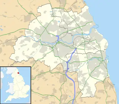
Fatfield Woods is a woodland in Tyne and Wear, England, near Washington. It covers a total area of 8.99 hectares (22.21 acres). It is owned and managed by the Woodland Trust.[1]
| Fatfield Woods | |
|---|---|
 | |
| Geography | |
| Location | Tyne and Wear, England |
| OS grid | NZ305543 |
| Coordinates | 54.882°N 1.525°W |
| Area | 8.99 hectares (22.21 acres) |
This article is issued from Wikipedia. The text is licensed under Creative Commons - Attribution - Sharealike. Additional terms may apply for the media files.