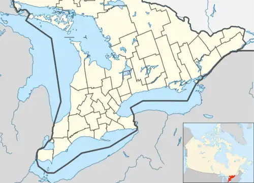
McDougall, Ontario
McDougall is a township in central Ontario, Canada, on the Parry Sound in the District of Parry Sound. It was named after William McDougall, one of the Fathers of Confederation.
McDougall | |
|---|---|
| Township of McDougall | |
 Municipal office | |
| Motto(s): A Great Place To Live, A Great Place To Visit | |
 McDougall | |
| Coordinates: 45°27′N 80°01′W | |
| Country | Canada |
| Province | Ontario |
| District | Parry Sound |
| Incorporated | May 1, 1872 |
| Government | |
| • Type | Township |
| • Mayor | Dale Robinson |
| • Federal riding | Parry Sound—Muskoka |
| • Prov. riding | Parry Sound—Muskoka |
| Area | |
| • Land | 268.48 km2 (103.66 sq mi) |
| Population (2021)[2] | |
| • Total | 2,744 |
| • Density | 10.2/km2 (26/sq mi) |
| Time zone | UTC-5 (EST) |
| • Summer (DST) | UTC-4 (EDT) |
| Area code(s) | 705, 249 |
| Website | www.municipalityofmcdougall .com |
In 2000, the Township of McDougall amalgamated with the unorganized geographic township of Ferguson, and created the Municipality of McDougall.
Demographics
Canada census – McDougall community profile
| 2021 | 2016 | 2011 | |
|---|---|---|---|
| Population | 2,744 (+1.6% from 2016) | 2,702 (-0.1% from 2011) | 2,705 (0% from 2006) |
| Land area | 264.02 km2 (101.94 sq mi) | 268.48 km2 (103.66 sq mi) | 268.3 km2 (103.6 sq mi) |
| Population density | 10.4/km2 (27/sq mi) | 10.1/km2 (26/sq mi) | 10.1/km2 (26/sq mi) |
| Median age | 52 (M: 51.6, F: 52.4) | 50.3 (M: 49.9, F: 50.9) | 48.7 (M: 47.6, F: 49.4) |
| Private dwellings | 1,155 (total) | 1,521 (total) | 1,664 (total) |
| Median household income | $81,115 |
- Mother tongue:[8]
- English as first language: 93.3%
- French as first language: 1.5%
- English and French as first language: 0.6%
- Other as first language: 4.6%
| Year | Pop. | ±% |
|---|---|---|
| 1991 | 2,061 | — |
| 1996 | 2,299 | +11.5% |
| 2001 | 2,608 | +13.4% |
| 2006 | 2,704 | +3.7% |
| 2011 | 2,705 | +0.0% |
| 2016 | 2,702 | −0.1% |
| 2021 | 2,744 | +1.6% |
| [9][1][10] 1996 population would have been 2,674 if 2001 boundaries were used | ||
See also
References
- 2011 Census Profile
- "Census Profile, 2021 Census: McDougall, Municipality". Statistics Canada. March 29, 2023. Retrieved September 15, 2023.
- "2021 Community Profiles". 2021 Canadian Census. Statistics Canada. February 4, 2022. Retrieved 2022-04-27.
- "2016 Community Profiles". 2016 Canadian Census. Statistics Canada. August 12, 2021. Retrieved 2019-06-27.
- "2011 Community Profiles". 2011 Canadian Census. Statistics Canada. March 21, 2019. Retrieved 2019-06-27.
- "2006 Community Profiles". 2006 Canadian Census. Statistics Canada. August 20, 2019.
- "2001 Community Profiles". 2001 Canadian Census. Statistics Canada. July 18, 2021.
- "2006 Community Profile". 13 March 2007.
- Statistics Canada: 1996, 2001, 2006, 2011, 2016
- "Census Profile, 2016 Census: McDougall, Municipality". Statistics Canada. 8 February 2017. Retrieved June 27, 2019.
This article is issued from Wikipedia. The text is licensed under Creative Commons - Attribution - Sharealike. Additional terms may apply for the media files.

