Galion Municipal Airport
Galion Municipal Airport (IATA: GQQ, ICAO: KGQQ, FAA LID: GQQ) is three miles northeast of Galion in Crawford County, Ohio.[1] The FAA's National Plan of Integrated Airport Systems for 2009–2013 classified it as a general aviation airport.[2]
Galion Municipal Airport | |||||||||||
|---|---|---|---|---|---|---|---|---|---|---|---|
| Summary | |||||||||||
| Airport type | Public | ||||||||||
| Owner | City of Galion | ||||||||||
| Serves | Galion, Ohio | ||||||||||
| Elevation AMSL | 1,224 ft / 373 m | ||||||||||
| Coordinates | 40°45′12″N 082°43′26″W | ||||||||||
| Map | |||||||||||
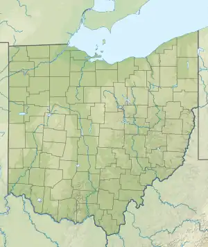 GQQ Location in Ohio  GQQ GQQ (the United States) | |||||||||||
| Runways | |||||||||||
| |||||||||||
| Statistics (2009) | |||||||||||
| |||||||||||
Facilities
The airport covers 152 acres (62 ha) at an elevation of 1,224 feet (373 m). Its runway, 5/23, is 3,505 by 75 feet (1,068 x 23 m).[1]
In the year ending June 29, 2009 the airport had 6,216 aircraft operations, average 17 per day: 99.7% general aviation and 0.3% military. 31 aircraft were then based at this airport, all single-engine.[1] Galion Municipal Airport had airline service in the 1960s,70s, and 80s. Fischer Brothers Aviation was an Allegheny Commuter based at Galion. They flew De Havilland Herons & Doves & then bought the larger Casa 212 airplanes in the early 1980s . The service was a very short, 5 minute flight to/from Mansfield (MFD) where they would continue on to Cleveland Hopkins (CLE). The airline continued to grow to Columbus (CMH), Detroit (DTW) & other Midwestern cities.[3]
References
- FAA Airport Form 5010 for GQQ PDF. Federal Aviation Administration. effective 8 April 2010.
- National Plan of Integrated Airport Systems for 2009–2013: Appendix A: Part 4 (PDF, 1.61 MB) Archived June 6, 2011, at the Wayback Machine. Federal Aviation Administration. Updated 15 October 2008.
- Allegheny Commuter Timetable Sept. 5, 1979
External links
- Aerial photo as of 15 March 1995 from USGS The National Map
- FAA Terminal Procedures for GQQ, effective October 5, 2023
- Resources for this airport:
- FAA airport information for GQQ
- AirNav airport information for GQQ
- ASN accident history for GQQ
- FlightAware airport information and live flight tracker
- SkyVector aeronautical chart for GQQ