Geonip-dong
Geonipdong is a neighbourhood in Jeju City, South Korea.
Geonip | |
|---|---|
Dong | |
| Korean transcription(s) | |
| • Hangul | 건입동 |
| • Hanja | 健入洞 |
 | |
 Geonip | |
| Coordinates: 33°25′55.13″N 126°23′19.54″E | |
| Country | South Korea |
| Area | |
| • Total | 2.53 km2 (0.98 sq mi) |
| Population (2022 December)[1] | |
| • Total | 8,866 |
| • Density | 3,500/km2 (9,100/sq mi) |
| Dialect | Jeju |
Etymology
The origin of the name is unclear, but there are various theories. One source dates it back to Silla, saying the name geonip was created as a reference to the members of the Go family of Jeju entering Jeju from Silla.[2]
History
Geonip first started as Geonip district in 1914.[2] Geonip-dong was incorporated into Jeju City in 1955 and became a dong.The neighborhood originally started as a fishing town, but was commercialized asa result of opening of the nearby Port of Jeju[3]
Geography
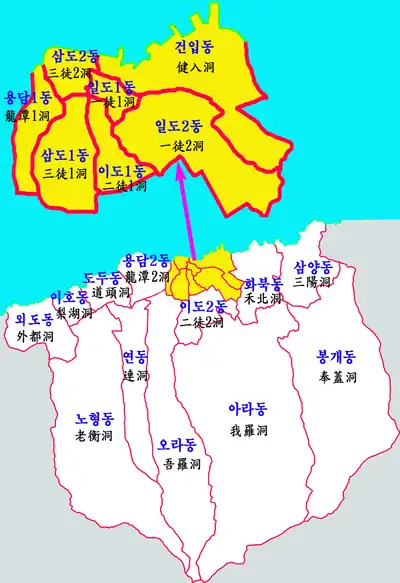
Geonip-dong is commonly referred to as a mountainous area because it is a village centered on the Sanjicheon in the west, and it is a rare example of several neighborhoods centered on 'Goeunimor(고으니모르)', which is the border point with Hwabuk, to the east, forming a single natural village and forming a legal-status neighborhood. It is divided into 20 Tongs and 113 bans.[3]
Attractions
The neighborhood hosts the museum of Gim Man-deok(built in 1978), the Sarabong mountain and the Mochungsa shrine.[4][3] It also has the Jeju National Museum.[1] In 2023,the April 3rd incident history museum opened in the town's old alcohol factory site that was formerly used as a concentration camp for the victims.[5]
References
- "일반현황".
- "설촌유래".
- "건입동". jejusi.gov.kr.
- "Kim Man-deok, remarkable female philanthropist". April 30, 2018. Retrieved June 2, 2022.
- "제주4.3 주정공장 옛터, 치유.역사교육 공간으로 재탄생".