Girty Run
Girty Run is a stream in the U.S. state of West Virginia.[6]
| Girty Run Tributary to Short Creek | |
|---|---|
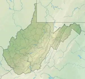 Location of Girty Run mouth  Girty Run (the United States) | |
| Location | |
| Country | United States |
| State | West Virginia |
| County | Brooke |
| City | Short Creek |
| Physical characteristics | |
| Source | Hogtan Run divide |
| • location | pond about 2.5 miles east of Windsor Heights, West Virginia |
| • coordinates | 40°11′31″N 080°37′43″W[1] |
| • elevation | 1,110 ft (340 m)[2] |
| Mouth | Ohio River |
• location | Short Creek, West Virginia |
• coordinates | 40°11′08″N 80°39′47″W[1] |
• elevation | 659 ft (201 m)[3] |
| Length | 2.07 mi (3.33 km)[4] |
| Basin size | 2.75 square miles (7.1 km2)[5] |
| Discharge | |
| • location | Short Creek |
| • average | 3.22 cu ft/s (0.091 m3/s) at mouth with Short Creek[5] |
| Basin features | |
| Progression | Short Creek → Ohio River → Mississippi River → Gulf of Mexico |
| River system | Ohio River |
| Tributaries | |
| • left | unnamed tributaries |
| • right | Newlands Run |
| Bridges | Bg Lane, Simon Lane, Wainwright Street |
Girty Run most likely has the name of Simon Girty (1741–1818), an American colonial.[7]
See also
References
- "GNIS Detail - Girty Run". geonames.usgs.gov. US Geological Survey. Retrieved 28 May 2021.
- "Get Maps". USGS Topoview. US Geological Survey. Retrieved 28 May 2021.
- "Get Maps". USGS Topoview. US Geological Survey. Retrieved 28 May 2021.
- "ArcGIS Web Application". epa.maps.arcgis.com. US EPA. Retrieved 28 May 2021.
- "Girty Run Watershed Report". US EPA Geoviewer. US EPA. Retrieved 28 May 2021.
- U.S. Geological Survey Geographic Names Information System: Girty Run
- Kenny, Hamill (1945). West Virginia Place Names: Their Origin and Meaning, Including the Nomenclature of the Streams and Mountains. Piedmont, WV: The Place Name Press. p. 268.
This article is issued from Wikipedia. The text is licensed under Creative Commons - Attribution - Sharealike. Additional terms may apply for the media files.