Glenbank
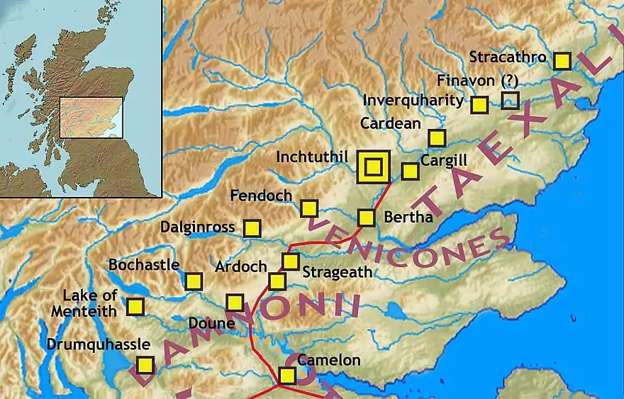
Glenbank was the site of a Roman fortlet associated with the Gask Ridge in Scotland.[1] It was discovered from aerial photography by G. S. Maxwell in 1983.[2] It was confirmed by geophysics and excavations which were carried out in 1984 and 1999.[3] It is beside the Roman road that linked the forts at Ardoch and Doune.[4] It is currently the most southerly of the known Gask fortifications.[5] It was probably built around 70-80 AD.[6] Several other Gask installations have been identified running north to Bertha.[7]
| Glenbank | |
|---|---|
.jpg.webp) | |
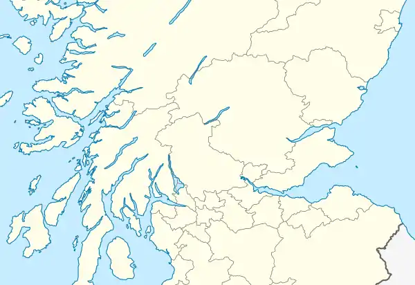
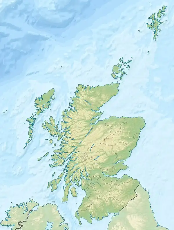
 Location in central Scotland  Location in Scotland | |
| Place in the Roman world | |
| Province | Britannia |
| Location | |
| Coordinates | 56.229069°N 3.917625°W |
| Country | Scotland |
The site is south of the Allan Water close to the A9 road.[8] It seems to have been deliberately demolished by the Romans when they abandoned it.[9]

Forts and Fortlets associated with the Gask Ridge from south to north[10] Balmuildy, Cadder, Castlecary, Mumrills, Camelon, Drumquhassle, Malling, Doune, Glenbank, Bochastle, Ardoch, Sheilhill, Strageath, Dalginross, Midgate, Bertha, Fendoch, Cargill, Cardean, Inchtuthil, Inverquharity, Stracathro[11]
References
- "Glenbank". CANMORE. Royal Commission on the Ancient and Historical Monuments of Scotland. Retrieved 14 November 2017.
- "Glenbank Roman Fortlet". Roman Britain. Retrieved 2 July 2018.
- Woolliscroft, David J.; Hoffmann, Brigitta (2009). "The Roman Gask system fortlet of Glenbank, Perthshire" (PDF). Proc Soc Antiq Scot. 139: 167–193. Retrieved 2 July 2018.
- Baird, Ronald (2005). "The Roman road at Woodlea, Greenloaning, Perthshire excavations in 1997 / 8" (PDF). Tayside and Fife Archaeological Journal. 2: 1–7. Retrieved 2 July 2018.
- "The Gask Ridge – Rome's Frontier Forts". Heritage Daily. Retrieved 2 July 2018.
- "Glenbank Fortlet". vici. Retrieved 2 July 2018.
- "GASK RIDGE FRONTIER". Castles Forts Battles. Retrieved 2 July 2018.
- "OS 25 inch map 1892-1949, with Bing opacity slider". National Library of Scotland. Ordnance Survey. Retrieved 12 October 2017.
- Woolliscroft, D. J.; Davies, M. H. "Glenbank Fortlet". The Roman Gask Project. Retrieved 2 July 2018.
- "Gask Ridge". Scribble Maps. Retrieved 9 June 2018.
- "Gask Ridge Map". HeritageDaily. Retrieved 9 June 2018.
This article is issued from Wikipedia. The text is licensed under Creative Commons - Attribution - Sharealike. Additional terms may apply for the media files.