Glory Hills, Alberta
Glory Hills is an unincorporated community in Alberta, Canada within Sturgeon County that is recognized as a designated place by Statistics Canada.[2] It is located on the south side of Township Road 544, 1.2 km (0.75 mi) east of Highway 779.
Glory Hills | |
|---|---|
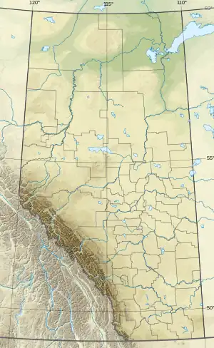 Glory Hills Location of Glory Hills 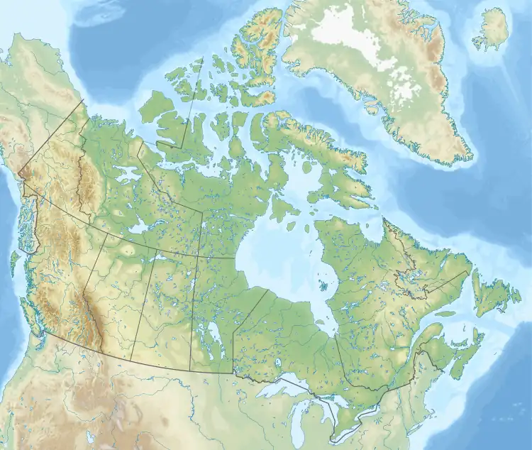 Glory Hills Glory Hills (Canada) | |
| Coordinates: 53.683°N 113.971°W | |
| Country | Canada |
| Province | Alberta |
| Region | Edmonton Metropolitan Region |
| Census division | 11 |
| Municipal district | Sturgeon County |
| Government | |
| • Type | Unincorporated |
| • Governing body | Sturgeon County Council |
| Area (2021)[1] | |
| • Land | 1.43 km2 (0.55 sq mi) |
| Population (2021)[1] | |
| • Total | 195 |
| • Density | 136.6/km2 (354/sq mi) |
| Time zone | UTC−07:00 (MST) |
| • Summer (DST) | UTC−06:00 (MDT) |
| Area code(s) | 780, 587, 825 |
Demographics
In the 2021 Census of Population conducted by Statistics Canada, Glory Hills had a population of 195 living in 69 of its 79 total private dwellings, a change of -20.1% from its 2016 population of 244. With a land area of 1.43 km2 (0.55 sq mi), it had a population density of 136.4/km2 (353.2/sq mi) in 2021.[1]
As a designated place in the 2016 Census of Population conducted by Statistics Canada, Glory Hills had a population of 244 living in 82 of its 83 total private dwellings, a change of 18.4% from its 2011 population of 206. With a land area of 1.43 km2 (0.55 sq mi), it had a population density of 170.6/km2 (441.9/sq mi) in 2016.[3]
References
- "Population and dwelling counts: Canada and designated places". Statistics Canada. February 9, 2022. Retrieved February 10, 2022.
- Statistics Canada (November 5, 2008). "Population and dwelling counts, for Canada, provinces and territories, and designated places, 2006 and 2001 censuses - 100% data (Alberta)". Retrieved October 17, 2010.
- "Population and dwelling counts, for Canada, provinces and territories, and designated places, 2016 and 2011 censuses – 100% data (Alberta)". Statistics Canada. February 8, 2017. Retrieved February 13, 2017.
Subdivisions of Alberta | |
|---|---|
| Subdivisions | |
| Communities | |
| Cities and urban service areas | |
| |