Grand Marais/Cook County Seaplane Base
Grand Marais/Cook County Seaplane Base (FAA LID: 0G5) is a county-owned, public-use seaplane base located seven miles (11 km) northwest of the central business district of Grand Marais, a city in Cook County, Minnesota, United States.[1]
Grand Marais/Cook County Seaplane Base | |||||||||||||||
|---|---|---|---|---|---|---|---|---|---|---|---|---|---|---|---|
| Summary | |||||||||||||||
| Airport type | Public | ||||||||||||||
| Owner | Cook County | ||||||||||||||
| Serves | Grand Marais, Minnesota | ||||||||||||||
| Elevation AMSL | 1,635 ft / 498 m | ||||||||||||||
| Coordinates | 47°49′N 090°23′W | ||||||||||||||
| Website | www.boreal.org/airport/ | ||||||||||||||
| Map | |||||||||||||||
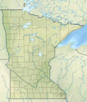
 0G5 Location of airport in Minnesota  0G5 0G5 (the United States) | |||||||||||||||
| Runways | |||||||||||||||
| |||||||||||||||
| Statistics (2003) | |||||||||||||||
| |||||||||||||||
It is located on the shore of Devil's Track Lake and was formerly part of Devil's Track Municipal Airport (FAA: GRM). That airport had a runway which closed after the opening of Grand Marais/Cook County Airport (FAA: CKC), located one mile (1.6 km) to the north.[2]
Facilities and aircraft
Grand Marais/Cook County Seaplane Base covers an area of 6 acres (2.4 ha) at an elevation of 1,635 feet (498 m) above mean sea level. It has two seaplane landing areas: 9/27 is 15,000 x 1,500 feet (4,572 x 457 m) and 3/21 is 3,000 x 2,000 feet (914 x 610 m). For the 12-month period ending August 31, 2003, the airport had 550 general aviation aircraft operations, an average of 46 per month.[1]
References
External links
- Grand Marais Cook County Airport & Seaplane Base
- "Grand Marais-Cook County Seaplane Base (0G5)" (PDF). Archived from the original (PDF) on 2008-12-07. at Minnesota DOT Airport Directory
- Resources for this airport:
- FAA airport information for 0G5
- AirNav airport information for 0G5
- FlightAware airport information and live flight tracker
- SkyVector aeronautical chart for 0G5