Grykat e Hapëta
Grykat e Hapëta (lit. 'Open Gorges') is a massif in the Albanian Alps, part of the Zhaborret mountain range, within the limits of Tropojë municipality. Its highest peak, Maja e Grykës së Hapët, reaches a height of 2,625 m (8,612 ft), making it the highest peak in the range.[1]
| Grykat e Hapëta | |
|---|---|
.jpg.webp) Grykat e Hapëta seen from Valbona Valley | |
| Highest point | |
| Elevation | 2,625 m (8,612 ft) |
| Prominence | 822 m (2,697 ft) |
| Isolation | 8.187 km (5.087 mi) |
| Coordinates | 42°24′31″N 19°54′15″E |
| Naming | |
| English translation | Open Gorges |
| Geography | |
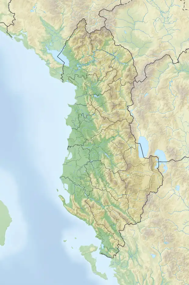
 Grykat e Hapëta | |
| Country | |
| Region | Northern Mountain Region |
| Municipality | Tropojë |
| Parent range | Accursed Mountains |
| Borders on | Maja e Brijasit |
| Geology | |
| Age of rock | Triassic |
| Mountain type | massif |
| Type of rock | limestone, dolomite |
Geology
The peak lies between the upper part of the Valbona Valley in the north and the Nikaj Valley in the south, continuing with the ridges of Zhaborre from the west and the pass of Droçë in the southeast, which separates it from Mali i Hekurave. Composed primarily of Triassic limestone and dolomite, it has the shape of a conical trunk with very steep slopes, forming cliffs 700-800 m deep. Around its core rise four other peaks at a height of over 2400 m. Grykat e Hapëta are mostly devoid of vegetation.[2]
See also
References
- Kabo, Mevlan (1991). Gjeografia Fizike e Shqipërisë (1.2 ed.). Tiranë: Qendra e Studimeve Gjeografike. p. 592.
- Buda, Aleks (1985). Fjalori Enciklopedik Shqiptar. Tiranë: Akademia e Shkencave e RPSSH. p. 1248.