Guantao County
Guantao County (simplified Chinese: 馆陶县; traditional Chinese: 館陶縣; pinyin: Guǎntáo Xiàn) is a county of southern Hebei province, China, bordering Shandong's Guan County and Linqing to the east across the Wei Canal (卫运河). It is under the administration of Handan City, and has a population of 320,000 residing in an area of 456 km2 (176 sq mi). Jinan lies 160 kilometres (99 mi) to the east, Handan 75 km (47 mi) to the west, and Beijing 420 km (260 mi) to the north, and the county is served by G22 Qingdao–Lanzhou Expressway and China National Highways 106 and 309. The area was formerly part of Shandong Province.
Guantao County
馆陶县 Kwantao | |
|---|---|
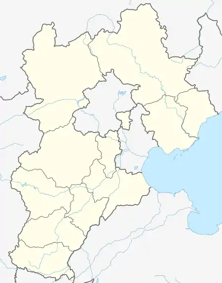 Guantao Location in Hebei | |
| Coordinates: 36°32′N 115°18′E | |
| Country | People's Republic of China |
| Province | Hebei |
| Prefecture-level city | Handan |
| County seat | Guantao Town (馆陶镇) |
| Area | |
| • Total | 456 km2 (176 sq mi) |
| Elevation | 44 m (145 ft) |
| Population | |
| • Total | 320,000 |
| • Density | 700/km2 (1,800/sq mi) |
| Time zone | UTC+8 (China Standard) |
| Postal code | 057750 |
Administrative divisions
There are 4 towns and 4 townships under the county's administration.[1]
Towns:
- Guantao (馆陶镇), Weisengzhai (魏僧寨镇), Fangzhai (房寨镇), Zibao (柴堡镇)
Townships:
- Nanxucun Township (南徐村乡), Luqiao Township (路桥乡), Wangqiao Township (王桥乡), Shoushansi Township (寿山寺乡)
Climate
| Climate data for Guantao (1991–2020 normals, extremes 1981–2010) | |||||||||||||
|---|---|---|---|---|---|---|---|---|---|---|---|---|---|
| Month | Jan | Feb | Mar | Apr | May | Jun | Jul | Aug | Sep | Oct | Nov | Dec | Year |
| Record high °C (°F) | 17.6 (63.7) |
24.3 (75.7) |
28.7 (83.7) |
34.6 (94.3) |
39.4 (102.9) |
41.9 (107.4) |
41.0 (105.8) |
36.3 (97.3) |
38.0 (100.4) |
34.2 (93.6) |
28.3 (82.9) |
22.3 (72.1) |
41.9 (107.4) |
| Average high °C (°F) | 3.9 (39.0) |
8.3 (46.9) |
14.9 (58.8) |
21.5 (70.7) |
27.1 (80.8) |
32.0 (89.6) |
32.1 (89.8) |
30.4 (86.7) |
27.1 (80.8) |
21.3 (70.3) |
12.6 (54.7) |
5.6 (42.1) |
19.7 (67.5) |
| Daily mean °C (°F) | −1.7 (28.9) |
2.2 (36.0) |
8.6 (47.5) |
15.2 (59.4) |
21.0 (69.8) |
25.9 (78.6) |
27.2 (81.0) |
25.5 (77.9) |
21.0 (69.8) |
14.8 (58.6) |
6.6 (43.9) |
0.1 (32.2) |
13.9 (57.0) |
| Average low °C (°F) | −6.2 (20.8) |
−2.6 (27.3) |
3.2 (37.8) |
9.5 (49.1) |
15.2 (59.4) |
20.4 (68.7) |
23.1 (73.6) |
21.7 (71.1) |
16.3 (61.3) |
9.7 (49.5) |
1.9 (35.4) |
−4.1 (24.6) |
9.0 (48.2) |
| Record low °C (°F) | −19.3 (−2.7) |
−15.5 (4.1) |
−9.3 (15.3) |
−2.3 (27.9) |
4.3 (39.7) |
9.7 (49.5) |
16.7 (62.1) |
13.0 (55.4) |
4.5 (40.1) |
−2.2 (28.0) |
−17.1 (1.2) |
−18.2 (−0.8) |
−19.3 (−2.7) |
| Average precipitation mm (inches) | 3.1 (0.12) |
8.2 (0.32) |
9.0 (0.35) |
28.8 (1.13) |
43.7 (1.72) |
66.9 (2.63) |
151.2 (5.95) |
116.4 (4.58) |
47.3 (1.86) |
31.0 (1.22) |
18.1 (0.71) |
4.5 (0.18) |
528.2 (20.77) |
| Average precipitation days (≥ 0.1 mm) | 1.8 | 3.2 | 2.7 | 4.7 | 6.1 | 8.1 | 10.9 | 9.1 | 6.3 | 5.0 | 3.9 | 2.4 | 64.2 |
| Average snowy days | 2.5 | 2.7 | 0.8 | 0.2 | 0 | 0 | 0 | 0 | 0 | 0 | 0.9 | 2.1 | 9.2 |
| Average relative humidity (%) | 63 | 58 | 54 | 61 | 64 | 62 | 78 | 83 | 76 | 69 | 69 | 66 | 67 |
| Mean monthly sunshine hours | 144.0 | 149.4 | 205.7 | 224.5 | 249.5 | 227.1 | 194.6 | 196.8 | 183.4 | 178.8 | 150.9 | 141.7 | 2,246.4 |
| Percent possible sunshine | 47 | 48 | 55 | 57 | 57 | 52 | 44 | 47 | 50 | 52 | 50 | 47 | 51 |
| Source: China Meteorological Administration[2][3] | |||||||||||||
References
- 2011年统计用区划代码和城乡划分代码:馆陶县 (in Chinese). National Bureau of Statistics of the People's Republic of China. Retrieved 2012-07-19.
- 中国气象数据网 – WeatherBk Data (in Simplified Chinese). China Meteorological Administration. Retrieved 26 August 2023.
- 中国气象数据网 (in Simplified Chinese). China Meteorological Administration. Retrieved 26 August 2023.
This article is issued from Wikipedia. The text is licensed under Creative Commons - Attribution - Sharealike. Additional terms may apply for the media files.