Gursum, Oromia (Aanaa)
Gursum (Oromo: Aanaa Gursum) is one of the Districts in the Oromia of Ethiopia. Part of the East Hararghe Zone, Gursum is bordered on the south by Babille, on the west by the Harari Region, on the north by Jarso, and on the east by the Somali Region.[1] The administrative center of the woreda is Funyan Bira.
Gursum
| |
|---|---|
District | |
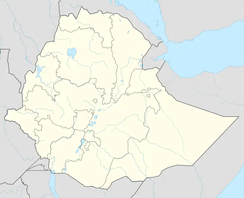
 Gursum Location in Ethiopia | |
| Coordinates: 9°21′8.49″N 42°23′56.35″E | |
| Country | |
| Region | |
| Zone | East Hararghe |
| Climate | Cwb |
Overview
The altitude of this District ranges from 1200 to 2950 meters above sea level; Kondudo and Medero are amongst the highest points. Perennial rivers include the Hariro, Goro Obole, Bombas, Ejerti, and Agemsa. A survey of the land in this woreda (reported in 1996) shows that 15.7% is arable or cultivable, 8.9% pasture, 13.2% forest, 22.4% built-up, and the remaining 39.8% is considered degraded or otherwise unusable.[2] Groundnuts are an important cash crop for this woreda.[3] Coffee is another important cash crop; between 20 and 50 square kilometers are planted with it.[4]
Industry in the District includes 10 grain mills and one brick factory employing 44 people, as well as 314 registered business including wholesalers, retailers and service providers; although feldspar, quartz and garnet deposits are known to exist, only dolomite and granite are quarried. There were 36 Farmers Associations with 25,727 members and one Farmers Service Cooperatives with 1336 members. Gursum has 75 kilometers of gravel and 30 kilometers of road, for an average road density of 119.7 kilometers per 1000 square kilometers. About 4.2% of the rural and 21.2% of the urban population have access to drinking water.[2]
Demographics
The 2007 national census reported a total population for this District of 151,931, of whom 77,112 were men and 74,819 were women; 12,048 or 7.93% of its population were urban dwellers. The majority of the inhabitants said they were Muslim, with 97.35% of the population reporting they observed this belief, while 2.34% of the population practised Ethiopian Orthodox Christianity.[5]
Based on figures published by the Central Statistical Agency in 2005, this District has an estimated total population of 211,593, of whom 105,509 are men and 106,084 are women; 15,478 or 7.31% of its population are urban dwellers, which is about the same as the Zone average of 6.9%. With an estimated area of 876.57 square kilometers, Gursum has an estimated population density of 241.4 people per square kilometer, which is greater than the Zone average of 102.6.[6]
The 1994 national census reported a total population for this District of 151,405, of whom 76,2467 were men and 75,159 women; 8,657 or 5.72% of its population were urban dwellers at the time. The three largest ethnic groups reported in Gursum were the Oromo (81.32%), the Somali (15.5%), and the Amhara (2.71%); all other ethnic groups made up 0.47% of the population. Oromiffa was spoken as a first language by 67.87%, 28.8% spoke Somali, and 3.01% spoke Amharic; the remaining 0.32% spoke all other primary languages reported. The majority of the inhabitants were Muslim, with 96.8% of the population having reported they practiced that belief, while 2.92% of the population said they professed Ethiopian Orthodox Christianity.[7]
Notes
- The Disaster Prevention and Preparedness Agency map for Oromia (copyright 2006) shows a woreda of the Oromia Region named Chenaksen east of Gursum, inside the Somali Region.
- Socio-economic profile of the East Hararghe Zone Government of Oromia Region (last accessed 1 August 2006)
- Mission Report - East and West Hararghe (Mission: 20 to 28 April 1999) UNDP Emergencies Unit for Ethiopia report, dated June 1996 (accessed 16 January 2009)
- "Coffee Production" Archived 2016-08-15 at the Wayback Machine Oromia Coffee Cooperative Union website
- 2007 Population and Housing Census of Ethiopia: Results for Oromia Region, Vol. 1 Archived 2011-11-13 at the Wayback Machine, Tables 2.1, 2.5, 3.4 (accessed 13 January 2012)
- CSA 2005 National Statistics Archived 2007-08-13 at the Wayback Machine, Tables B.3 and B.4
- 1994 Population and Housing Census of Ethiopia: Results for Oromia Region, Vol. 1, part 1 Archived 2008-11-19 at the Wayback Machine, Tables 2.1, 2.13, 2.16, 2.20 (accessed 6 April 2009)