Húnavatnshreppur
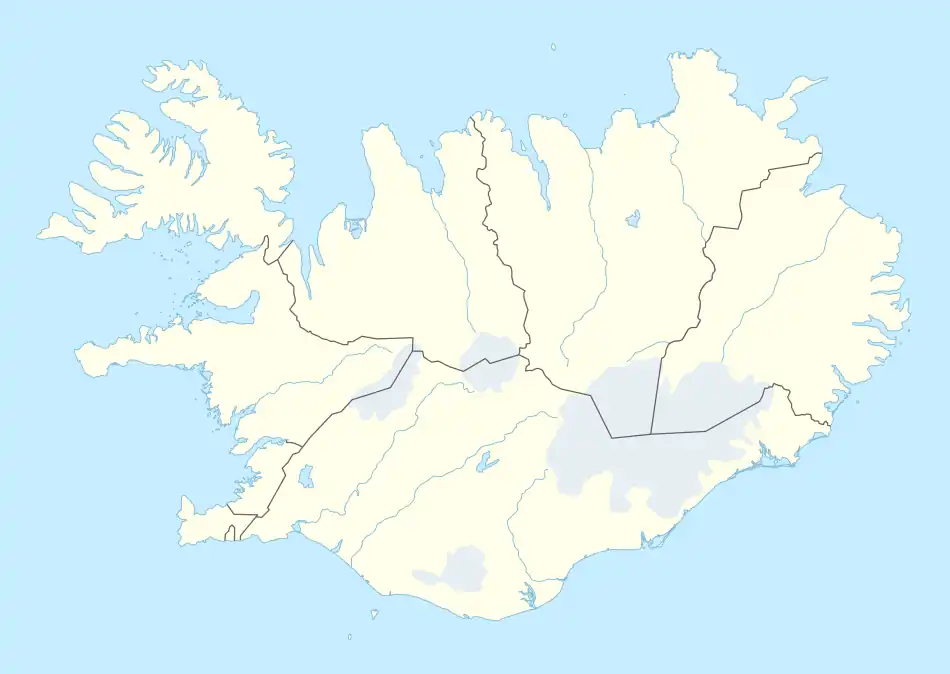
Húnavatnshreppur (Icelandic pronunciation: [ˈhuːnaˌvasːˌr̥ɛhpʏr̥] ⓘ) is a former rural municipality located in northwestern Iceland.
Húnavatnshreppur | |
|---|---|
Former municipality | |
 Skyline of Húnavatnshreppur | |
 Húnavatnshreppur | |
| Coordinates: 65.5158316°N 20.3883425°W | |
| Country | Iceland |
| Region | Northwestern Region |
| Constituency | Northwest Constituency |
| Municipality | Húnabyggð |
| Government | |
| • Manager | Einar Kristján Jónsson |
| Area | |
| • Total | 3,817 km2 (1,474 sq mi) |
| Population | |
| • Total | 409 |
| • Density | 0.11/km2 (0.3/sq mi) |
| Website | hunavatnshreppur |
History
The municipality was formed on 1 January 2006 by the union of the former municipalities of Sveinsstaðahreppur [ˈsveinsˌstaːðaˌr̥ehpʏr̥], Torfalækjarhreppur [ˈtʰɔrvaˌlaiːcar̥ˌr̥ɛhpʏr̥], Svínavatnshreppur [ˈsviːnaˌvasːˌr̥ɛhpʏr̥] and Bólstaðarhlíðarhreppur [ˈpoulˌstaːðarˌl̥iːðar̥ˌr̥ɛhpʏr̥]. In 2022, the municipality merged with Blönduós to form Húnabyggð.[1]
Geography
Húnavatn is one of the largest Icelandic municipalities. Its southern borders touch the glaciers of Hofsjökull and Langjökull. In the south are situated also the hot springs in Hveravellir.
References
- Árni Sæberg. "Samþykktu að sameinað sveitarfélag fái nafnið Húnabyggð - Vísir". visir.is (in Icelandic).
External links
This article is issued from Wikipedia. The text is licensed under Creative Commons - Attribution - Sharealike. Additional terms may apply for the media files.