Hastings, Tasmania
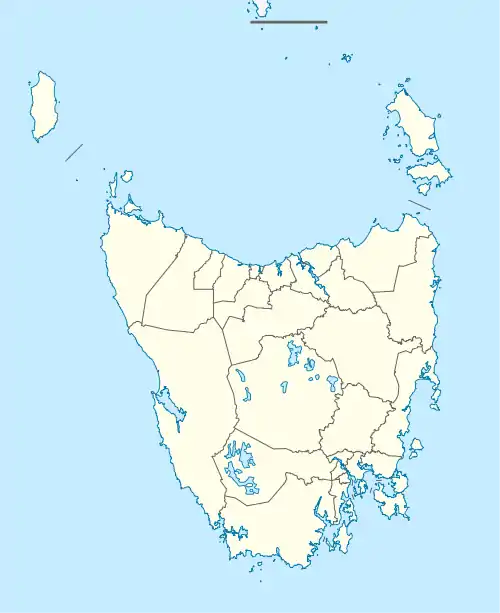
Hastings is a rural locality in the local government area of Huon Valley in the South-east region of Tasmania. It is located about 62 kilometres (39 mi) south-west of the town of Huonville. The 2016 census has a population of 44 for the state suburb of Hastings.[1]
| Hastings Tasmania | |||||||||||||||
|---|---|---|---|---|---|---|---|---|---|---|---|---|---|---|---|
 Hastings | |||||||||||||||
| Coordinates | 43°25′24″S 146°56′17″E | ||||||||||||||
| Population | 44 (2016 census)[1] | ||||||||||||||
| Postcode(s) | 7109 | ||||||||||||||
| Location | 62 km (39 mi) SW of Huonville | ||||||||||||||
| LGA(s) | Huon Valley | ||||||||||||||
| Region | South-east | ||||||||||||||
| State electorate(s) | Franklin | ||||||||||||||
| Federal division(s) | Franklin | ||||||||||||||
| |||||||||||||||
History
Hastings was gazetted as a locality in 1966.[2]
Geography
The southern boundary is formed by Mesa Creek, Lune River, and the shores of Hastings Bay. Hastings Caves State Reserve is in the north-west of the locality.[3]
Climate
| Climate data for Hastings Chalet (35 m AMSL; BOM 1945-present) | |||||||||||||
|---|---|---|---|---|---|---|---|---|---|---|---|---|---|
| Month | Jan | Feb | Mar | Apr | May | Jun | Jul | Aug | Sep | Oct | Nov | Dec | Year |
| Record high °C (°F) | 38.7 (101.7) |
38.9 (102.0) |
35.1 (95.2) |
29.6 (85.3) |
23.0 (73.4) |
20.3 (68.5) |
19.6 (67.3) |
22.0 (71.6) |
30.2 (86.4) |
31.1 (88.0) |
35.0 (95.0) |
35.7 (96.3) |
38.9 (102.0) |
| Average high °C (°F) | 20.4 (68.7) |
20.5 (68.9) |
19.0 (66.2) |
16.7 (62.1) |
13.7 (56.7) |
11.8 (53.2) |
11.2 (52.2) |
12.4 (54.3) |
13.8 (56.8) |
15.9 (60.6) |
17.3 (63.1) |
18.8 (65.8) |
16.0 (60.8) |
| Average low °C (°F) | 9.1 (48.4) |
9.2 (48.6) |
8.4 (47.1) |
7.1 (44.8) |
5.1 (41.2) |
3.4 (38.1) |
2.6 (36.7) |
3.2 (37.8) |
4.4 (39.9) |
5.7 (42.3) |
7.0 (44.6) |
8.4 (47.1) |
6.1 (43.0) |
| Record low °C (°F) | 1.0 (33.8) |
1.0 (33.8) |
0.4 (32.7) |
−0.7 (30.7) |
−2.9 (26.8) |
−5 (23) |
−5 (23) |
−5 (23) |
−2.2 (28.0) |
−2.2 (28.0) |
−0.1 (31.8) |
1.1 (34.0) |
−5 (23) |
| Average rainfall mm (inches) | 73.1 (2.88) |
69.2 (2.72) |
86.2 (3.39) |
107.4 (4.23) |
125.8 (4.95) |
132.4 (5.21) |
147.5 (5.81) |
154.6 (6.09) |
134.1 (5.28) |
134.4 (5.29) |
108.6 (4.28) |
102.6 (4.04) |
1,380.2 (54.34) |
| Average rainy days (≥ 0.2 mm) | 12.8 | 11.9 | 14.4 | 16.7 | 18.6 | 18.5 | 20.9 | 21.1 | 19.9 | 19.6 | 17.0 | 15.7 | 207.1 |
| Source: [4] | |||||||||||||
Road infrastructure
The C635 route (Hastings Caves Road) enters from the east and runs generally west and north-west until it reaches the Hastings Caves State Reserve, where it ends.[2][5]
References
- "2016 Census Quick Stats Hastings (Tas.)". quickstats.censusdata.abs.gov.au. Australian Bureau of Statistics. 23 October 2017. Retrieved 20 July 2020.
- "Placenames Tasmania – Hastings". Placenames Tasmania. Select “Search”, enter "1034H", click “Search”, select row, map is displayed, click “Details”. Retrieved 20 July 2020.
- Google (20 July 2020). "Hastings, Tasmania" (Map). Google Maps. Google. Retrieved 20 July 2020.
- http://www.bom.gov.au/climate/averages/tables/cw_094027_All.shtml
- "Tasmanian Road Route Codes" (PDF). Department of Primary Industries, Parks, Water & Environment. May 2017. Archived from the original (PDF) on 1 August 2017. Retrieved 20 July 2020.
This article is issued from Wikipedia. The text is licensed under Creative Commons - Attribution - Sharealike. Additional terms may apply for the media files.