Down Hatherley
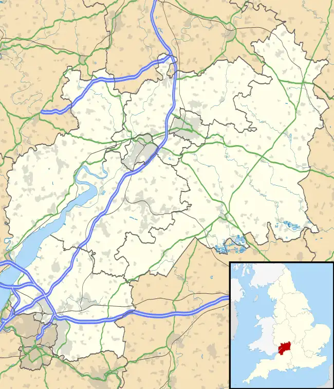
Down Hatherley is a civil parish and village in the Tewkesbury Borough, between Cheltenham and Gloucester, Gloucestershire. It has approximately 165 houses and a population of 450, reducing to 419 at the 2011 census.[1] The village is situated approximately 3.5 miles (5.6 km) northeast of Gloucester city centre.
| Down Hatherley | |
|---|---|
 The Church of St Mary and Corpus Christi | |
 Down Hatherley Location within Gloucestershire | |
| Population | 419 (2011 Census) |
| District | |
| Shire county | |
| Region | |
| Country | England |
| Sovereign state | United Kingdom |
| Post town | GLOUCESTER |
| Postcode district | GL2 |
| Police | Gloucestershire |
| Fire | Gloucestershire |
| Ambulance | South Western |
| UK Parliament | |
The village was recorded (combined with Up Hatherley) as Hegberleo in 1022.[2] It was listed as Athelai in the Domesday Book of 1086.[3][4] In 1273 it was known as Dunheytherleye and in 1221, Hupheberleg.[4] The name derived from the Old English hagu-thorn + lēah meaning "hawthorn clearing".[4] the distinguishing affixes "Up" and "Down" derived from the Old English upp meaning "higher upstream" and dūne meaning "lower downstream".[4] Up Hatherley is a separate parish three miles upstream on the Hatherley Brook.[2] Historic buildings include St Mary's Church (15th-century tower, otherwise rebuilt 1860) and Hatherley Court (or House) (17th century), now a hotel.
Jemmy Wood, The Gloucester Miser, was a former owner of Hatherley House and estate.[5]
Notable residents
- Button Gwinnett (1735–1777), second of the signatories (first signature on the left) on the United States Declaration of Independence, son of the rector
- Peter Bellinger Brodie (1815–1897), geologist and churchman
- The Page Wood Baronets of Hatherley House
- Sir Matthew Wood, 1st Baronet (1768–1843), Lord Mayor of London
- William Wood, 1st Baron Hatherley (1801–1881), Lord Chancellor, son of last-named, took his peerage title from Down Hatherley
- Sir Frederick Courtenay Selous (1851–1917), explorer, officer, hunter, and conservationist
References and sources
- References
- "Parish population 2011". Retrieved 2 April 2015.
- "Up Hatherley, Warden Hill and Surrounding Areas". Cheltenham4U.co.uk. Archived from the original on 5 August 2010. Retrieved 24 January 2010.
- "Down Hatherley, Gloucestershire". Domesday Book. The National Archives. 1086. Retrieved 24 January 2010.
- Mills, A. D. (1998). Dictionary of English Place-Names. Oxford University Press. p. 170. ISBN 0-19-280074-4.
- Jemmy Wood. Down Hatherley History, 2011. Retrieved 3 July 2011.
- Sources
- Gloucestershire: the Vale and the Forest of Dean, David Verey, Pevsner Architectural Guides: The Buildings of England, Penguin, 1970, ISBN 0-14-071041-8. P.172.