Hebron, Ghana
Hebron is a town near Nsawam in southern Ghana and in the Nsawam-Adoagyire Municipal District, a district in the Eastern Region of south Ghana.[2][3] Hebron falls under the administrative district of Nsawam-Adoagyire Municipal District (ASMD). Hebron is situated on the main Accra to Nsawam a highway to Kumasi.
Hebron | |
|---|---|
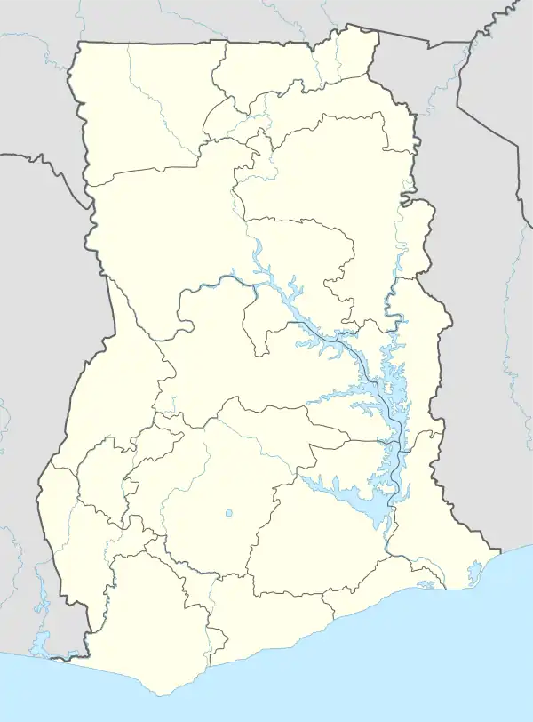 Hebron Location of Hebron in Eastern Region, Ghana | |
| Coordinates: 05°48′00″N 00°21′00″W | |
| Country | |
| Region | Eastern Region |
| District | Nsawam-Adoagyire Municipal |
| Population | |
| • Total | [1] |
| Time zone | GMT |
| • Summer (DST) | GMT |
Prayer Camp
Hebron is the location of a prayer camp called Hebron prayer camp which is under the Church of Pentecost.[3]
Climate
| Climate data for Nsawam | |||||||||||||
|---|---|---|---|---|---|---|---|---|---|---|---|---|---|
| Month | Jan | Feb | Mar | Apr | May | Jun | Jul | Aug | Sep | Oct | Nov | Dec | Year |
| Average high °C (°F) | 32 (90) |
32 (90) |
32 (90) |
32 (89) |
31 (87) |
29 (85) |
28 (82) |
28 (82) |
28 (82) |
30 (86) |
32 (89) |
31 (88) |
32 (90) |
| Average low °C (°F) | 24 (75) |
24 (75) |
24 (76) |
24 (76) |
24 (75) |
23 (73) |
23 (73) |
23 (73) |
23 (73) |
23 (73) |
23 (73) |
23 (73) |
23 (73) |
| Average precipitation mm (inches) | 7.6 (0.3) |
25 (1.0) |
25 (1.0) |
100 (4.0) |
150 (6.0) |
150 (6.0) |
76 (3.0) |
25 (1.0) |
76 (3.0) |
76 (3.0) |
25 (1.0) |
5.1 (0.2) |
750 (29.5) |
| Source: Myweather2.com[4] | |||||||||||||
References
- "World Gazetteer online". World-gazetteer.com. Archived from the original on September 30, 2007.
- "Bawumia commissions pineapple processing factory at Nsawam under 1D1F". Citinewsroom - Comprehensive News in Ghana. 2021-05-20. Retrieved 2021-05-21.
- Akuapim South Municipal Archived 14 April 2015 at the Wayback Machine
- "Nsawam Weather Averages". Myweather2. 2013. Retrieved 21 June 2013.
External links

.svg.png.webp)
This article is issued from Wikipedia. The text is licensed under Creative Commons - Attribution - Sharealike. Additional terms may apply for the media files.