Heilhornet
Heilhornet is a mountain in the municipality of Bindal in Nordland, Norway. It has a height of 1,058 metres (3,471 ft) and is a landmark visible from the sea lane.[2][3] The Norwegian County Road 17 runs along the western base of the mountain.
| Heilhornet | |
|---|---|
 Heilhornet (right) viewed from Tyskenghatten | |
| Highest point | |
| Elevation | 1,058 m (3,471 ft) |
| Coordinates | 65.0768°N 12.1392°E[1] |
| Geography | |
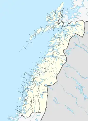 Heilhornet Location of the mountain  Heilhornet Heilhornet (Norway) | |
| Location | Nordland, Norway |
References
- "Heilhornet, Bindal (Nordland)" (in Norwegian). yr.no. Retrieved 25 February 2019.
- Bolstad, Erik (ed.). "Heilhornet". Store norske leksikon (in Norwegian). Oslo: Norsk nettleksikon. Retrieved 18 August 2017.
- Evensen, Knut Harald, ed. (2010). NAF Veibok 2010–2012 (in Norwegian) (29 ed.). Oslo: Norges Automobil-Forbund. pp. 467, 468.
This article is issued from Wikipedia. The text is licensed under Creative Commons - Attribution - Sharealike. Additional terms may apply for the media files.