Hett, County Durham
Hett is a village and former civil parish, now in the parish of Croxdale and Hett, in the County Durham district, in the ceremonial county of Durham, England. It is situated a few miles south of Durham. Hett is largely surrounded by farmland. To the south, rape fields are predominant while at the northern end, cattle are grazed all year round. To the north-west of Hett lies Sunderland Bridge, a small hamlet with a population of under 50 people (2004). Hett contains a small pond, village hall and a football pitch. It is believed to derive its name from its topography - the village sits on a low rounded hill shaped like a hat (Hætt in old English).[1]
| Hett | |
|---|---|
 | |
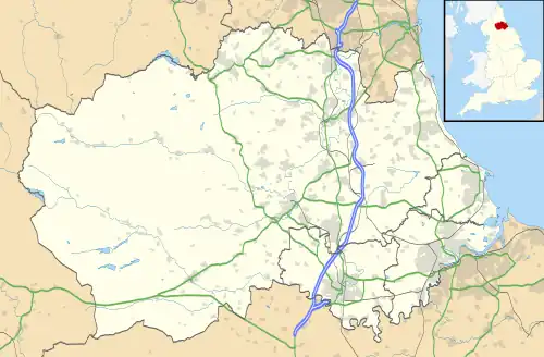 Hett Location within County Durham | |
| Civil parish | |
| Unitary authority | |
| Ceremonial county | |
| Region | |
| Country | England |
| Sovereign state | United Kingdom |
Hett gives its name to an igneous dyke which cuts through the local Coal Measures rocks. Hett is under the constituency of City of Durham.
Civil parish
Hett was formerly a township in the parish of Merrington,[2] from 1866 Hett was a civil parish in its own right,[3] on 1 April 1986 the parish was abolished to form "Croxdale & Hett".[4] In 1961 the parish had a population of 148.[5]
References
- Watts, Victor. A Dictionary of County Durham Place-Names. English Place-Name Society, Nottingham, 2002. ISBN 0-904889-65-3
- "History of Hett, in Durham and County Durham". A Vision of Britain through Time. Retrieved 7 August 2023.
- "Relationships and changes Hett Tn/CP through time". A Vision of Britain through Time. Retrieved 7 August 2023.
- "Durham Central Registration District". UKBMD. Retrieved 7 August 2023.
- "Population statistics Hett Tn/CP through time". A Vision of Britain through Time. Retrieved 7 August 2023.