Hoddles Creek, Victoria
Hoddles Creek is a bounded rural locality near Melbourne in Victoria, Australia, located within the Shire of Yarra Ranges local government area. Hoddles Creek recorded a population of 676 at the 2021 census.[1]
| Hoddles Creek Victoria | |||||||||||||||
|---|---|---|---|---|---|---|---|---|---|---|---|---|---|---|---|
 Hoddles Creek 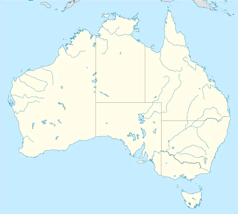 Hoddles Creek | |||||||||||||||
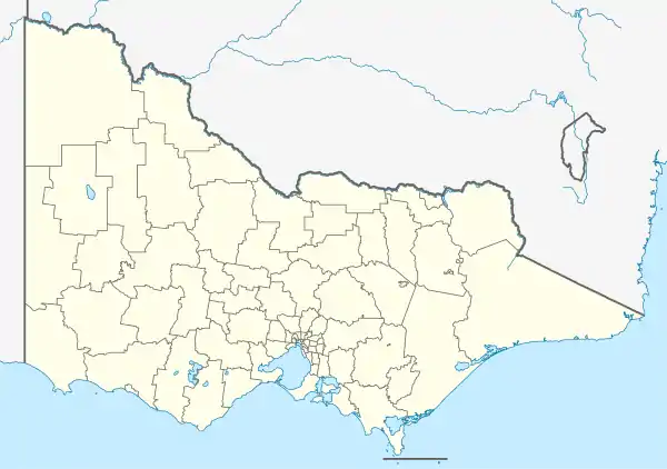
| Coordinates | 37.833°S 145.583°E | ||||||||||||||
| Population | 676 (2021 census)[1] | ||||||||||||||
| Postcode(s) | 3139 | ||||||||||||||
| Elevation | 212 m (696 ft) | ||||||||||||||
| Location | |||||||||||||||
| LGA(s) | Shire of Yarra Ranges | ||||||||||||||
| State electorate(s) | Eildon | ||||||||||||||
| Federal division(s) | Casey | ||||||||||||||
| |||||||||||||||
Location
Hoddles Creek is situated 72 km east of Melbourne's central business district.[2] It stands on the banks of the Hoddles Creek, which was named after Robert Hoddle.[2][3] Blackleather Creek also flows through the town.[3]
History
Hoddles Creek was named for Robert Hoddle (1794–1881), who surveyed the area in 1844.[3] The town developed thanks to the Victorian Gold Rush in the 1860s.[3] It was home to one of the largest minefields in Victoria up until the 1900s.[3]
The Post Office opened as Hoddle's Creek on 24 May 1862 and closed 1865.[4] It reopened in 1869 (though known as Warburton from 1874 until 1879) and closed in 1967.[4]
In 1916, the Hoddles Creek Primary School was founded to replace other local schools.[5][6] It still runs to this day.
Sir Harrie Massey, the renowned mathematical physicist, spent his early years from 1908 in Hoddles Creek.[7]
It is home to several vineyards.[3] For example, the Hoddles Creek Estate was founded by the D'Anna family in 1997.[8] The town is also home to berry farms and tree farms.[3]
References
- Australian Bureau of Statistics (28 June 2022). "Hoddles Creek (Suburbs and Localities)". 2021 Census QuickStats. Retrieved 9 July 2022.
- Google Map
- "Friends of Hobbles Creek". Archived from the original on 23 July 2008. Retrieved 8 November 2005.
- Phoenix Auctions History, Post Office List, retrieved 22 February 2021
- Hoddles Creek Primary School: Contact Us
- Yarra Ranges Heritage Database: Hoddles Creek Primary School
- Australian Dictionary of Biography: Harrie Massey
- Hoddles Creek Estate: About Us
