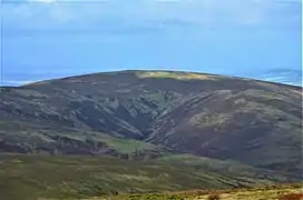
Hudderstone
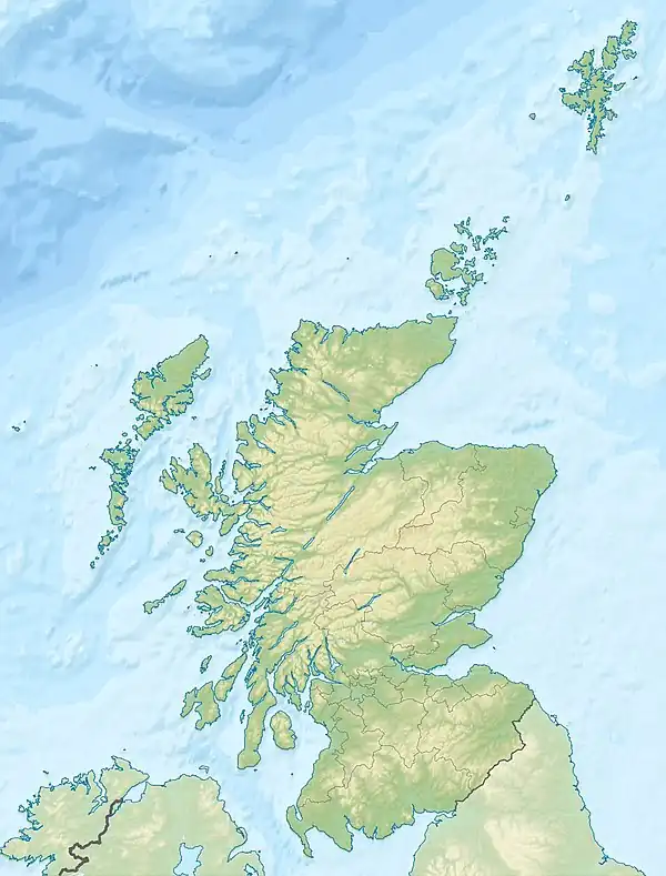
Hudderstone is a hill in the Culter Hills range, part of the Southern Uplands of Scotland. Normally ascended as part of a popular round, its southern flanks are dotted with turbines from the Clyde Extension Wind Farm.[1][3]
| Hudderstone | |
|---|---|
 | |
| Highest point | |
| Elevation | 626 m (2,054 ft)[1] |
| Prominence | 111 m (364 ft)[1] |
| Listing | Hu,Tu,Sim,D,GT,DN,Y[2] |
| Coordinates | 55°31′42″N 3°33′03″W |
| Geography | |
 Hudderstone | |
| Parent range | Culter Hills, Southern Uplands |
| OS grid | NT 02212 27137 |
| Topo map | OS Landranger 72 |
References
- "Hudderstone". www.hill-bagging.co.uk.
- "Database of British and Irish Hills: user guide". www.hills-database.co.uk.
- "Archived copy" (PDF). Archived from the original (PDF) on 15 July 2019. Retrieved 18 April 2020.
{{cite web}}: CS1 maint: archived copy as title (link)
This article is issued from Wikipedia. The text is licensed under Creative Commons - Attribution - Sharealike. Additional terms may apply for the media files.