Humphreys County Airport
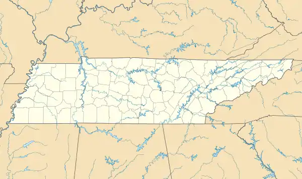
Humphreys County Airport (FAA LID: 0M5) is a county-owned public-use airport located three nautical miles (6 km) northeast of the central business district of Waverly, a city in Humphreys County, Tennessee, United States.[1]
Humphreys County Airport | |||||||||||
|---|---|---|---|---|---|---|---|---|---|---|---|
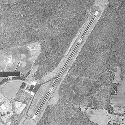 USGS aerial photo as of 1 April 1998 | |||||||||||
| Summary | |||||||||||
| Airport type | Public | ||||||||||
| Owner | Humphreys County | ||||||||||
| Serves | Waverly, Tennessee | ||||||||||
| Elevation AMSL | 756 ft / 230 m | ||||||||||
| Coordinates | 36°7′0″N 87°44′17″W | ||||||||||
| Map | |||||||||||
 Humphreys County Airport | |||||||||||
| Runways | |||||||||||
| |||||||||||
| Statistics (2020) | |||||||||||
| |||||||||||
Facilities and aircraft
Humphreys County Airport covers an area of 160 acres (65 ha) at an elevation of 756 feet (230 m) above mean sea level. It has one asphalt paved runway designated 3/21 which measures 4,000 by 75 feet (1,219 x 23 m).
For the 12-month period ending July 31, 2020, the airport had 6,260 aircraft operations, an average of 120 per week: 98% general aviation, 2% military, and <1% air taxi. At that time there were 14 aircraft based at this airport: 12 single-engine, 1 multi-engine and 1 jet.
References
- FAA Airport Form 5010 for 0M5 PDF, effective 2023-10-05
External links
- Official website
- FAA Terminal Procedures for 0M5, effective October 5, 2023
- Resources for this airport:
- FAA airport information for 0M5
- AirNav airport information for 0M5
- FlightAware airport information and live flight tracker
- SkyVector aeronautical chart for 0M5
This article is issued from Wikipedia. The text is licensed under Creative Commons - Attribution - Sharealike. Additional terms may apply for the media files.