Ikuchi-jima
Ikuchi-jima (生口島, Ikuchijima) is one of the Geiyo Islands in the Seto Inland Sea, belonging to Hiroshima Prefecture in Japan. Ikuchi-jima is administered as part of Onomichi city. The bridges connecting Ikuchi-jima to the mainland (Honshū) via Innoshima and to Shikoku via Ōmishima Island. The island's highest peak is Mount Kanno at 472.3 m (1,550 ft).
Native name: 生口島 Ikuchijima | |
|---|---|
Aerial photo of Ikuchi-jima in 1947 | |
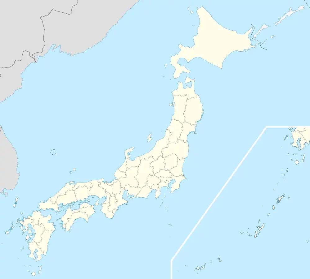 Ikuchi-jima Location in Japan 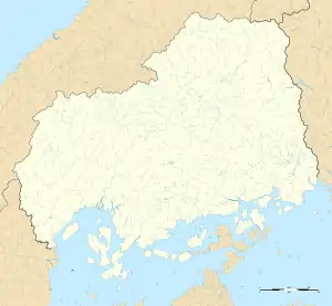 Ikuchi-jima Ikuchi-jima (Hiroshima Prefecture) | |
| Geography | |
| Location | Seto Inland Sea |
| Coordinates | 34°17′15.2″N 133°6′28.6″E |
| Archipelago | Geiyo Islands |
| Area | 31.21 km2 (12.05 sq mi) |
| Length | 8.8 km (5.47 mi) |
| Width | 4.9 km (3.04 mi) |
| Coastline | 24 km (14.9 mi) |
| Highest elevation | 472.3 m (1549.5 ft) |
| Highest point | Mount Kanno |
| Administration | |
Japan | |
| Prefecture | Hiroshima Prefecture |
| City | Onomichi |
| Demographics | |
| Population | 11000[1] (2006) |
| Pop. density | 352/km2 (912/sq mi) |
| Ethnic groups | Japanese |
History
- April 1, 1889, Ikuchi-juma was formally demarcated into Nishiikuchi-gun, Kitaikuchi-gun, Myōga-gun and Minamiikuchi-gun
- April 1, 1937, Nishiikuchi-gun merged into Setoda.
- April 1, 1944, Kitaikuchi-gun and Myōga-gun merged into Setoda.
- April 1, 1955, Minamiikuchi-gun merged into Setoda.
- July 27, 1970, Bridge connection to Takane Island opened.
- December 8, 1991, Bridge connection to Innoshima and Ōmishima.
- January 10, 2006, Setoda, along with the city of Innoshima, was merged into the expanded city of Onomichi
Attractions
- Outdoor island-wide monument park
- Hiking and cycling routes
- Sunset-view beach hotels
- Lemon orchards -Ikuchijima is known as "Lemon Island" in Japan.
Climate
| Climate data for Ikuchi-jima (1991−2020 normals, extremes 1979−present) | |||||||||||||
|---|---|---|---|---|---|---|---|---|---|---|---|---|---|
| Month | Jan | Feb | Mar | Apr | May | Jun | Jul | Aug | Sep | Oct | Nov | Dec | Year |
| Record high °C (°F) | 16.4 (61.5) |
20.4 (68.7) |
22.2 (72.0) |
27.5 (81.5) |
32.0 (89.6) |
34.2 (93.6) |
36.0 (96.8) |
37.5 (99.5) |
36.0 (96.8) |
33.0 (91.4) |
23.9 (75.0) |
20.9 (69.6) |
37.5 (99.5) |
| Average high °C (°F) | 9.5 (49.1) |
9.9 (49.8) |
13.0 (55.4) |
18.1 (64.6) |
22.9 (73.2) |
26.0 (78.8) |
30.0 (86.0) |
31.9 (89.4) |
28.3 (82.9) |
22.8 (73.0) |
17.2 (63.0) |
11.9 (53.4) |
20.1 (68.2) |
| Daily mean °C (°F) | 5.7 (42.3) |
5.8 (42.4) |
8.6 (47.5) |
13.4 (56.1) |
18.1 (64.6) |
21.8 (71.2) |
25.9 (78.6) |
27.5 (81.5) |
24.1 (75.4) |
18.6 (65.5) |
12.9 (55.2) |
8.0 (46.4) |
15.9 (60.6) |
| Average low °C (°F) | 1.6 (34.9) |
1.3 (34.3) |
3.8 (38.8) |
8.5 (47.3) |
13.4 (56.1) |
18.2 (64.8) |
22.5 (72.5) |
24.0 (75.2) |
20.6 (69.1) |
14.6 (58.3) |
8.7 (47.7) |
3.8 (38.8) |
11.8 (53.2) |
| Record low °C (°F) | −4.7 (23.5) |
−6.3 (20.7) |
−4.0 (24.8) |
−1.2 (29.8) |
3.4 (38.1) |
9.8 (49.6) |
15.6 (60.1) |
17.4 (63.3) |
11.4 (52.5) |
4.7 (40.5) |
−0.6 (30.9) |
−3.0 (26.6) |
−6.3 (20.7) |
| Average precipitation mm (inches) | 39.5 (1.56) |
49.7 (1.96) |
84.4 (3.32) |
88.9 (3.50) |
108.3 (4.26) |
172.3 (6.78) |
177.6 (6.99) |
89.5 (3.52) |
126.8 (4.99) |
95.9 (3.78) |
59.2 (2.33) |
46.2 (1.82) |
1,138.4 (44.82) |
| Average precipitation days (≥ 1.0 mm) | 5.3 | 6.9 | 9.2 | 9.1 | 8.5 | 10.8 | 9.1 | 6.2 | 8.5 | 7.0 | 6.2 | 6.3 | 93.1 |
| Mean monthly sunshine hours | 141.9 | 140.1 | 177.0 | 192.1 | 206.5 | 149.7 | 189.9 | 220.7 | 163.7 | 169.8 | 146.2 | 140.8 | 2,047.1 |
| Source: Japan Meteorological Agency[2][3] | |||||||||||||
See also
- This article incorporates material from Japanese Wikipedia page 生口島, accessed 11 June 2018
Wikimedia Commons has media related to Ikuchijima.
References
- 生口島 - Ikuchijima Island
- 観測史上1~10位の値(年間を通じての値). JMA. Retrieved March 2, 2022.
- 気象庁 / 平年値(年・月ごとの値). JMA. Retrieved March 2, 2022.
This article is issued from Wikipedia. The text is licensed under Creative Commons - Attribution - Sharealike. Additional terms may apply for the media files.