Indian Creek Wilderness Study Area
Indian Creek Wilderness Study Area is a wilderness study area managed by the United States Bureau of Land Management in southern Utah. It encompasses 6,870 acres (10.73 sq mi; 27.8 km2) of land immediately east of the Needles district of Canyonlands National Park in the rugged lower stretches of Indian Creek near where it flows into the Colorado River.[2][3]
| Indian Creek Wilderness Study Area | |
|---|---|
 Location within Utah  Location within United States | |
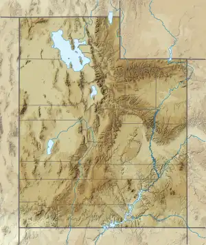
| Location | San Juan County, Utah |
| Nearest city | Moab, Utah |
| Coordinates | 38°15′N 109°44′W |
| Area | 6,870 acres (27.8 km2) |
| Established | 1980 |
| Governing body | Bureau of Land Management |
References
- Protected Area Profile for Indian Creek Wilderness Study Area from the World Database on Protected Areas. Retrieved May 2 2023.
- Bureau of Land Management
- Indian Creek Wilderness Study Area
This article is issued from Wikipedia. The text is licensed under Creative Commons - Attribution - Sharealike. Additional terms may apply for the media files.