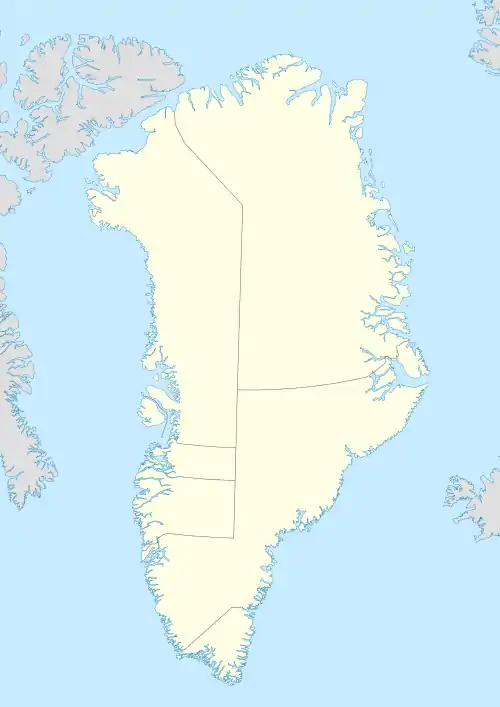
Inglefield Land
Inglefield Land is an unglaciated area along the northwestern coast of Greenland. It was named after English explorer Edward Augustus Inglefield.
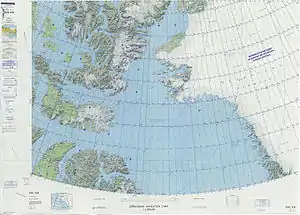 ONC map of Eastern Ellesmere Island and Northwest Greenland. | |
 Inglefield Land | |
| Geography | |
|---|---|
| Location | NW Greenland |
| Coordinates | 78°35′N 69°45′W |
| Adjacent to | |
| Length | 160 km (99 mi) |
| Width | 50 km (31 mi) |
| Highest elevation | 638 m (2093 ft) |
| Highest point | Unnamed |
| Administration | |
Greenland (Denmark) | |
| Demographics | |
| Population | Uninhabited |
History
Inglefield Land is noted for its archaeological sites, which show evidence of occupation by the Dorset Culture and Thule Culture.
The last inhabited settlement in the region was Etah, which is now abandoned.
Geography
The region stretches from Cape Alexander to the southwest to Cape Agassiz at the eastern end. It is bounded by Prudhoe Land in the south, the Humboldt Glacier in the northeast, and the Kane Basin to the north. The Dodge Glacier is located to the southwest and the Hiawatha Glacier to the east. The McGary and Bonsall Islands are located off the northeastern and the Littleton Islands of the southwestern end.[1][2]
References
- Dawes; et al. (2000). "Kane Basin 1999: mapping, stratigraphic studies and economic assessment of Precambrian and Lower Palaeozoic provinces in north-western Greenland". Geology of Greenland Survey Bulletin. 186: 11.
- 1:1,000,000 scale Operational Navigation Chart, Sheet B-8, 3rd edition